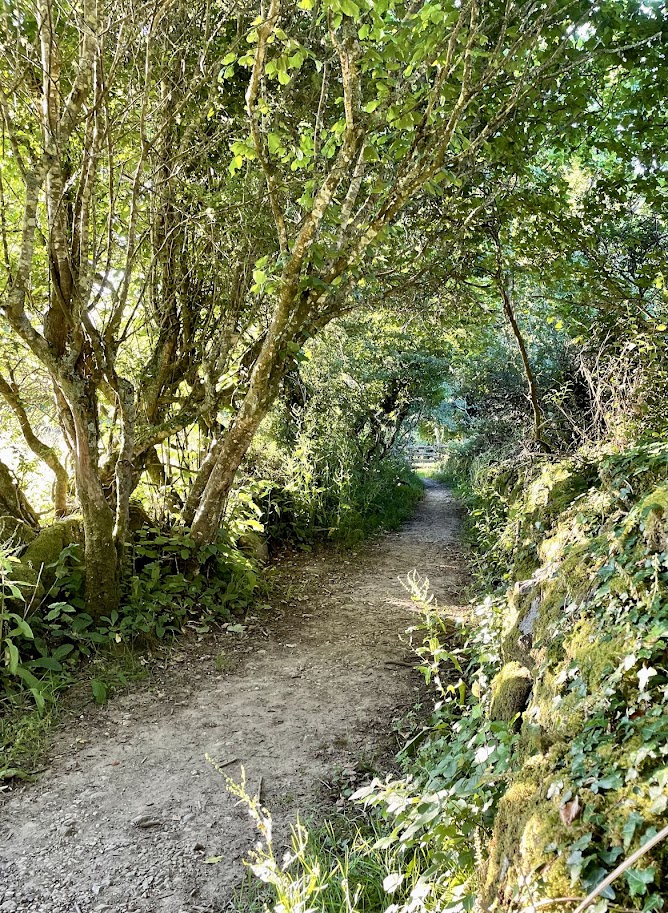
Parking at Roskilly’s Farm car park turn right up the road for a short distance on your left you see a lane signed Trebarveth Farm the wooden fence at the top of the lane has a pedestrian gate to a field that you walk diagnonally left across to a small lane. Continue across fields towards Coverack, passing through the hamlets of Trevalsoe and Boscarnon before reaching an old stone hedged lane. Shaded by trees, moss has covered the stones, including the ruins of a small farm house on your right called Gilly High Rocks.
After crossing a few more fields, climb a stile over a Cornish hedge and enjoy a wonderful view of Coverack with the distinctive Chynalls Head beyond, it’s geologically significant also being made entirely of serpentine. Very different to the gabbro you are standing on when you admire the view.
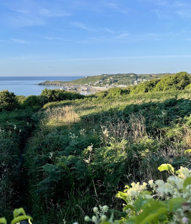
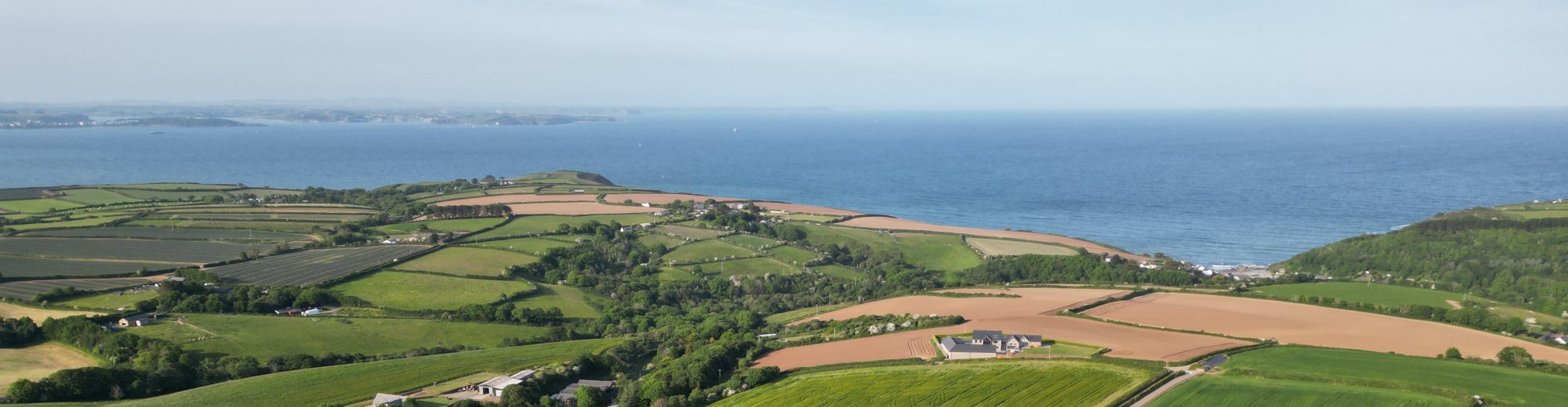
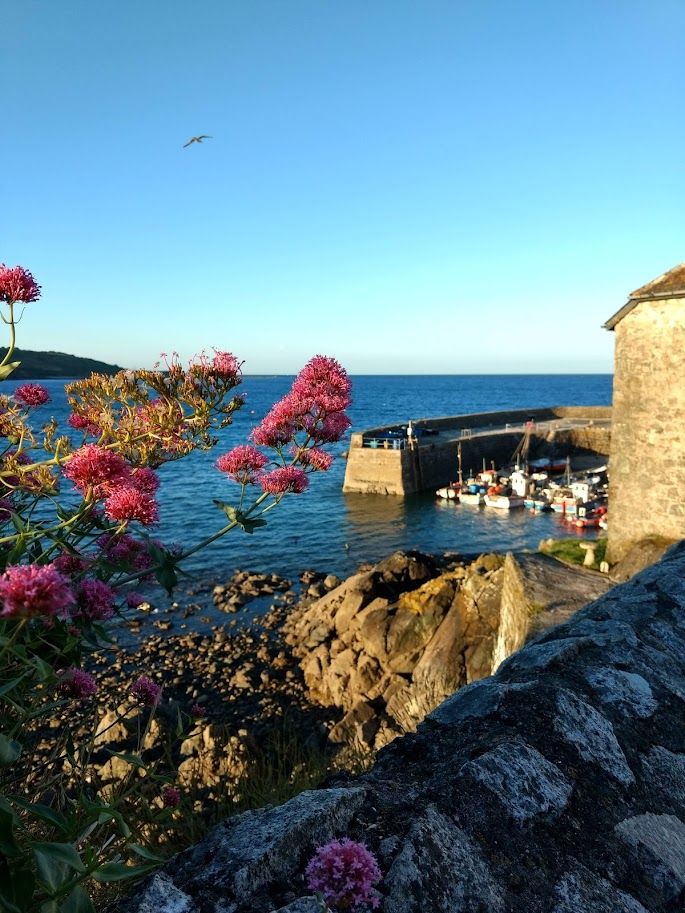
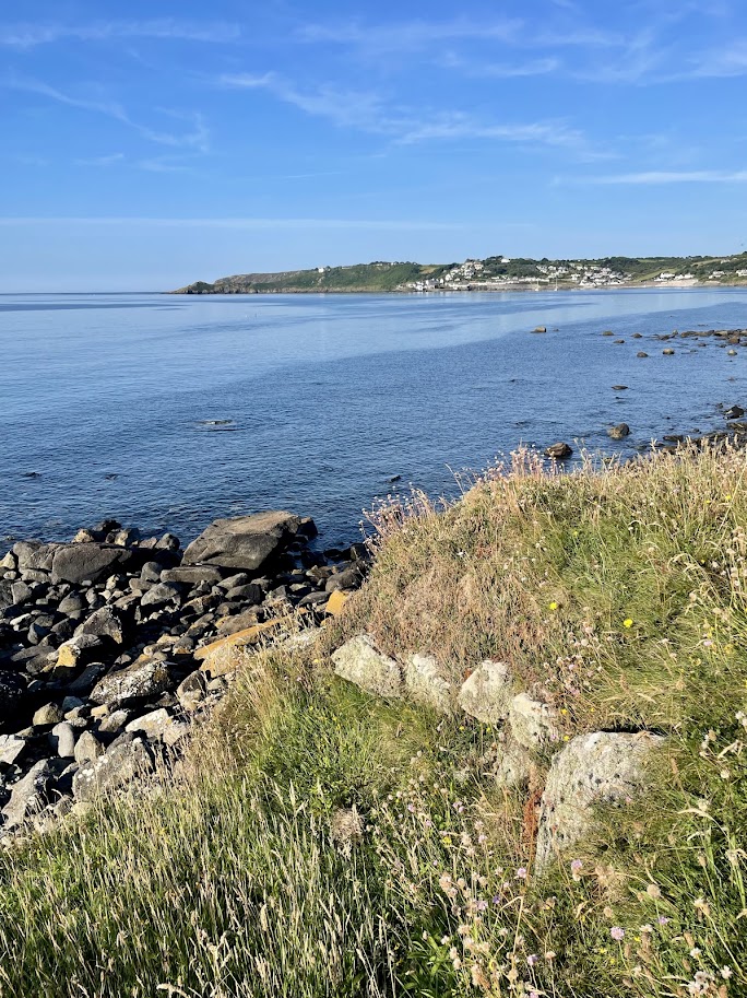
Continue down hill and join a made up lane, either turn left for the circular walk or right to detour into the village of Coverack, a charming old fishing village. There places to eat including a pub and the Bay Hotel, open to non residence and dog friendly there are also a few small gift shops.
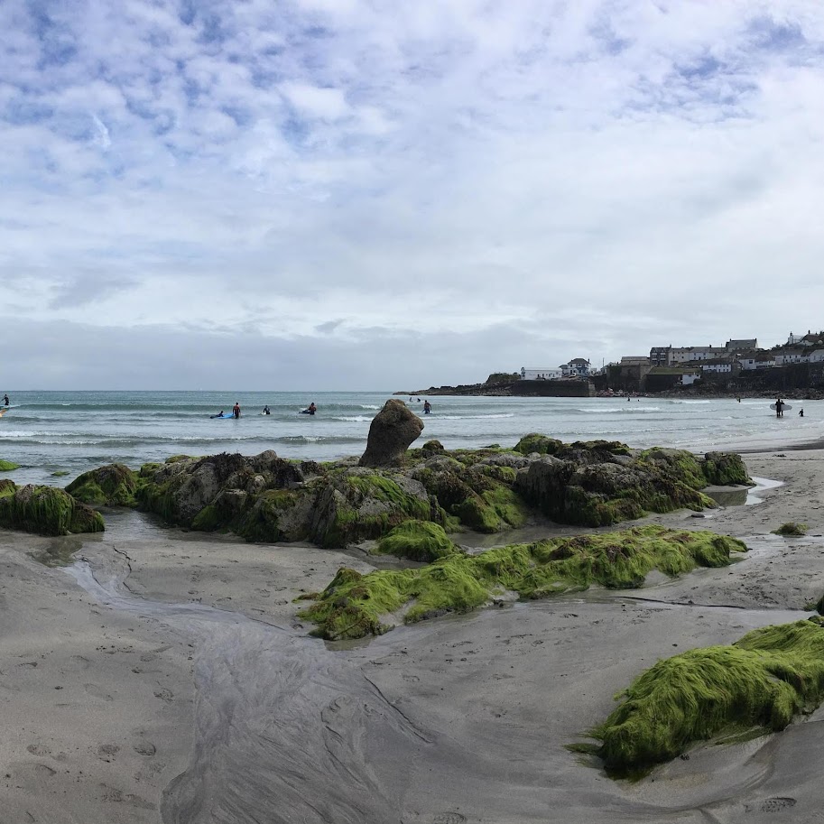
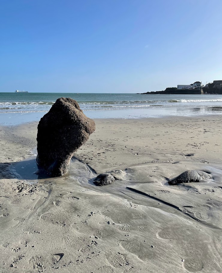
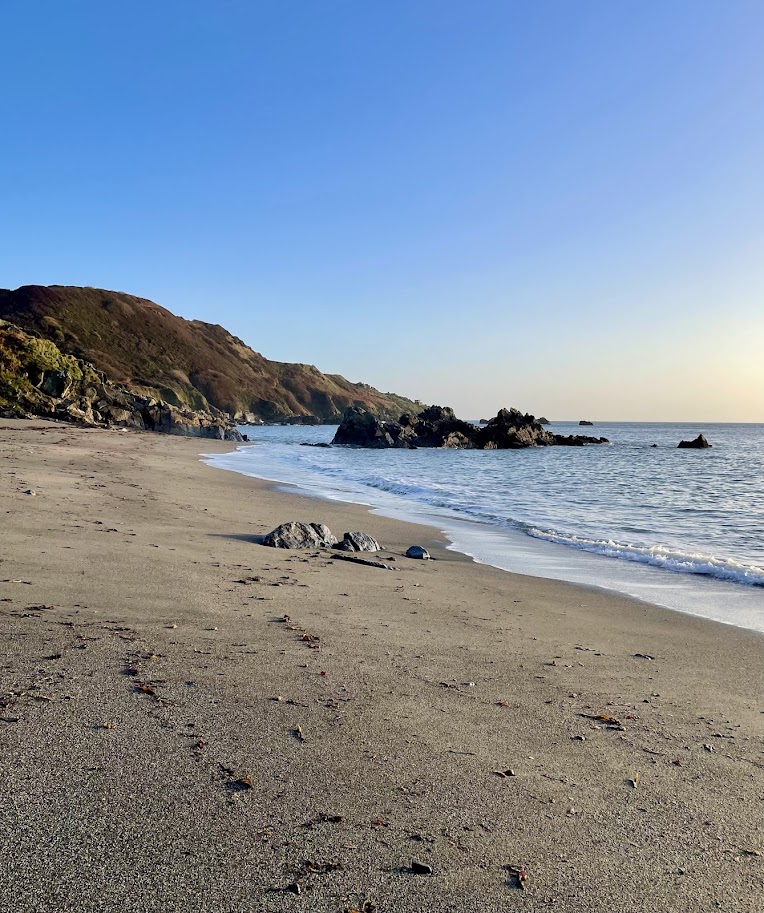
At low tide, Coverack has a lovely sandy beach, the amount of sand varies depending on the amount and strength of recent east wind. Coverack beach is of geological interest were the earth’s crust and earth’s mantle meet – the Moho. Additionally, the upright rock visible at low tide near the centre of the beach is an unusual feature and named locally as the Giant’s fist or Giant’s thumb.
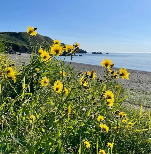
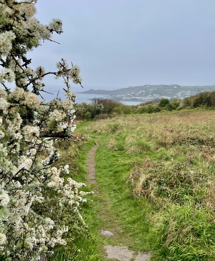
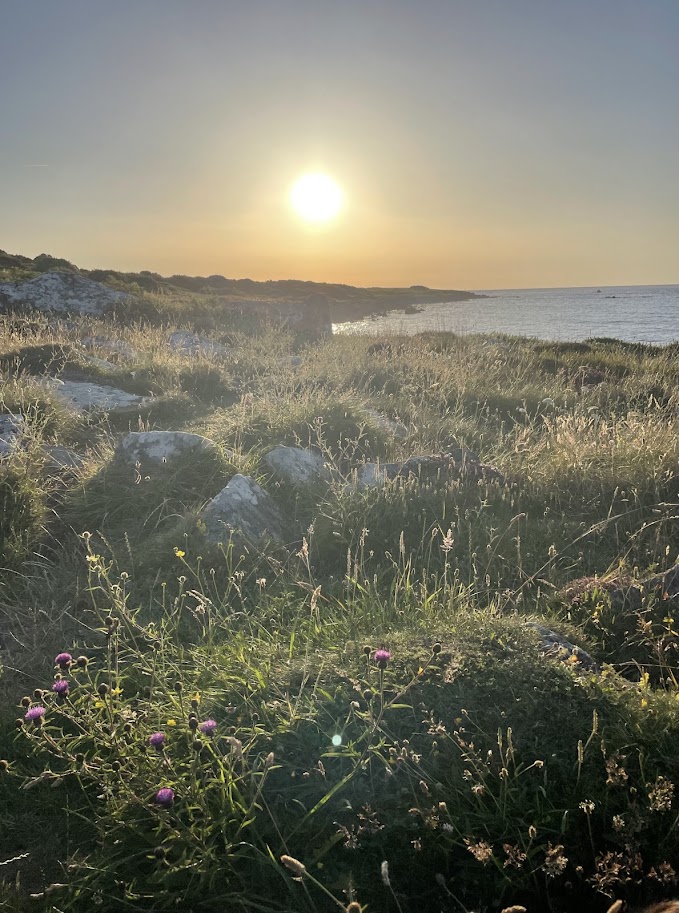
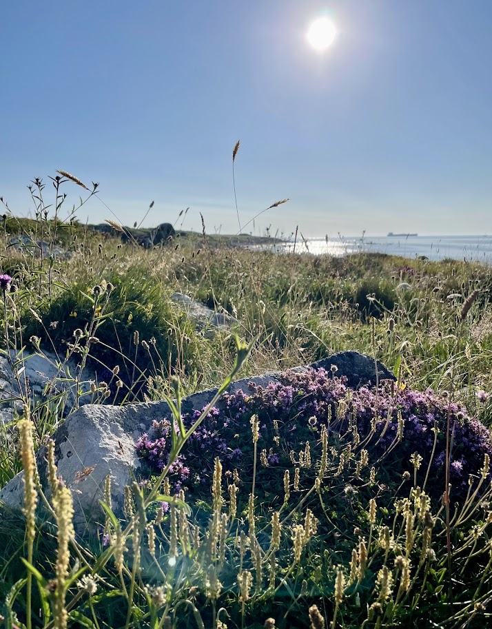
When you are refreshed, rested and ready to return to the circular walk head back up the lane you walked along to enter Coverack until it heads down hill, near it’s end the footpath is signed on your right. Winding between the boulders, the path can be quite wet in places as water heads to the sea from the higher ground. This moisture encourages wonderful wild flowers and is a haven for wildlife. Looking seawards, its common to see cormorants and other sea birds flying by or resting on the craggy outcrops of rocks.
It’s easy to pass Trebarveth salt works unnoticed, on the right of the path, part of a circular structure that dates back to the 2nd century AD. Salt ovens once boiled sea water; the water evaporated leaving behind salt that was packed in pots and exported. The salt works (What3words octagonal.fund.weaned) are fast eroding into the sea and now only a small part of the sunken stone walls can be seen.
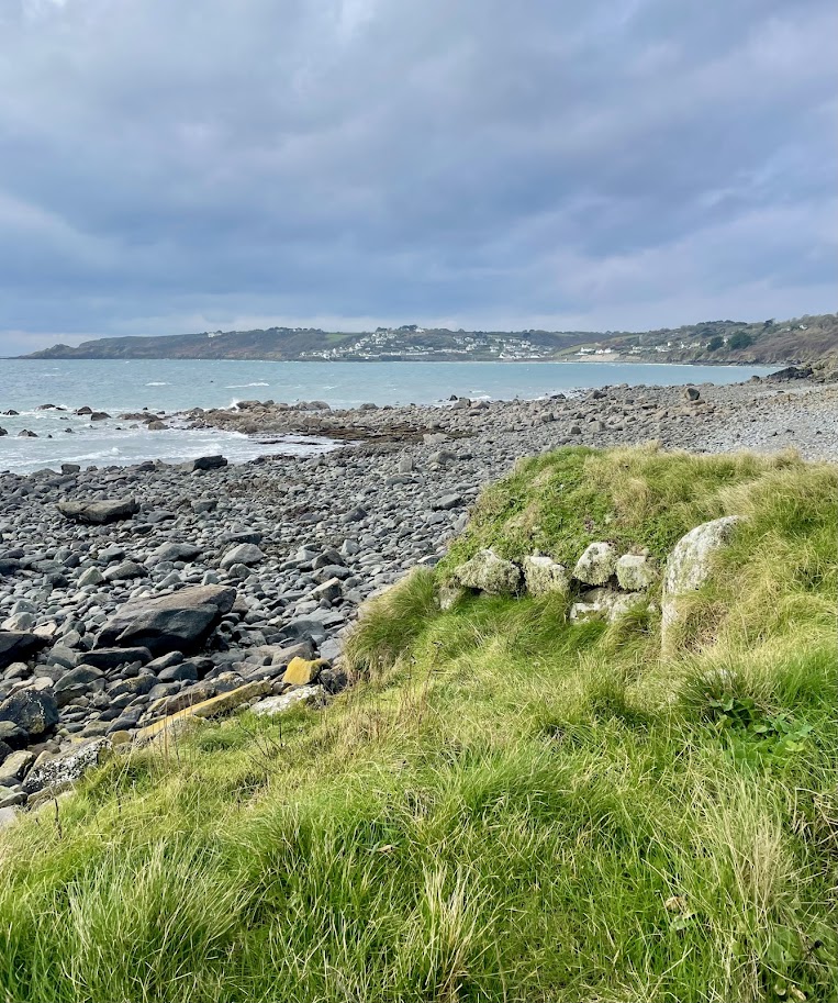

Continue along the path to Lowland point, with it’s distinctive mound made from stones cleared from surrounding fields. A short distance after a stone cove is a favourite swimming spot with seals who can be seen very close to the shore bottling and basking on the sea’s surface. It’s easy to pass by without noticing them and worth taking a look, an old slab of concrete track now pulled from the land onto the rocks is a distinctive feature to reassure you are in the right place.
The path leads you around the now abandoned Dean Quarry, with it’s prominent jetty and host of building a wonderful wild life habitat. As you continue along the path looking seaward, the tips of the infamous group of rocks called the Manacles are often clearly visible, most of the mountainous reef of rocks remains under the cover of sea and has been responsible for many shipwrecks resulting in many mass graves in St Keverne churchyard.
As you continue along the path, in the distance the sandy beach of Godrevy becomes visible. If you reach the beach at low tide, it is possible to walk across to a second beach Leggan Cove that has no other direct access from land, so be careful not to get cut off by the tide!


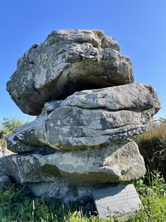
The footpath heads inland for a few meters about half way along Godrevy beach, with board walks taking you across standing water. Turn right on the footpath before the bridge and head across fields and up hill. On joining the lane, you can see the spire of St Keverne church in the distance, follow the road towards this. After a short distance, on the right the granite stacks of Giant’s Quoits can be seen. They were re-situated from Manacle point in 1967 as Dean Quarry expanded.
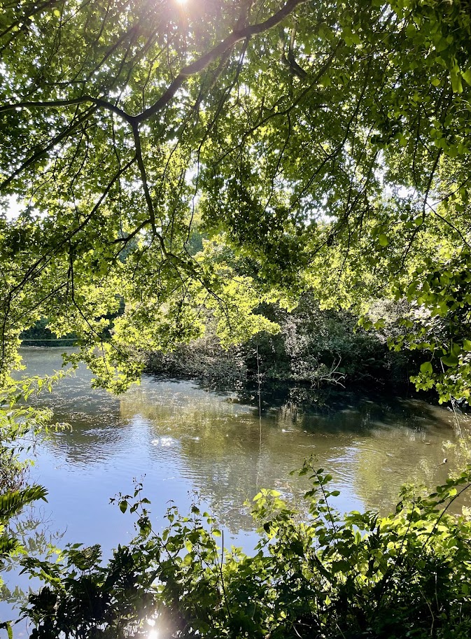
Follow the road through the hamlet of Rosenithon and onward, taking the first road on the left. This road leads you back to Roskilly’s, after a wooden field gate there is a stone stile in the hedge that allows you to finish your walk beside ponds were ducks wait eager to be fed.
Practicalities:
Approximately 6 miles
Coverack has an honesty box car park (cash or card payment) and would make a good alternative starting point.
Coverack has public toilets, to get to the nearest head up hill across the car park, above the entrance of the next car park toilets are on your right.
In Coverack, there are several places to eat, many are open seasonally so please check their websites and Facebook pages.
Roskilly’s has long opening hours and opens all year around for food and ice creams, it also offers free parking.
