Category Archives: Walks starting within 5 miles of Tregarne

Helford to Trebah gardens using the passenger ferry

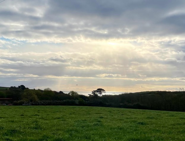
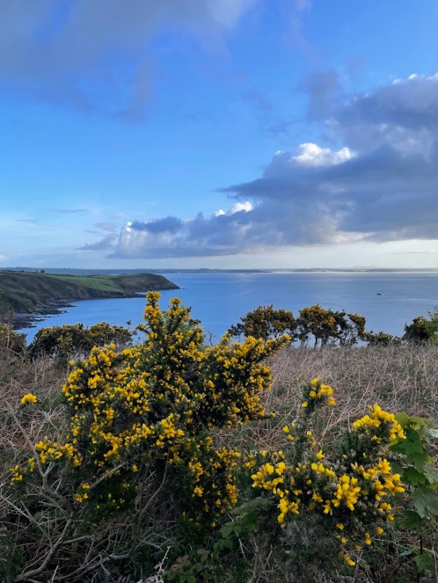
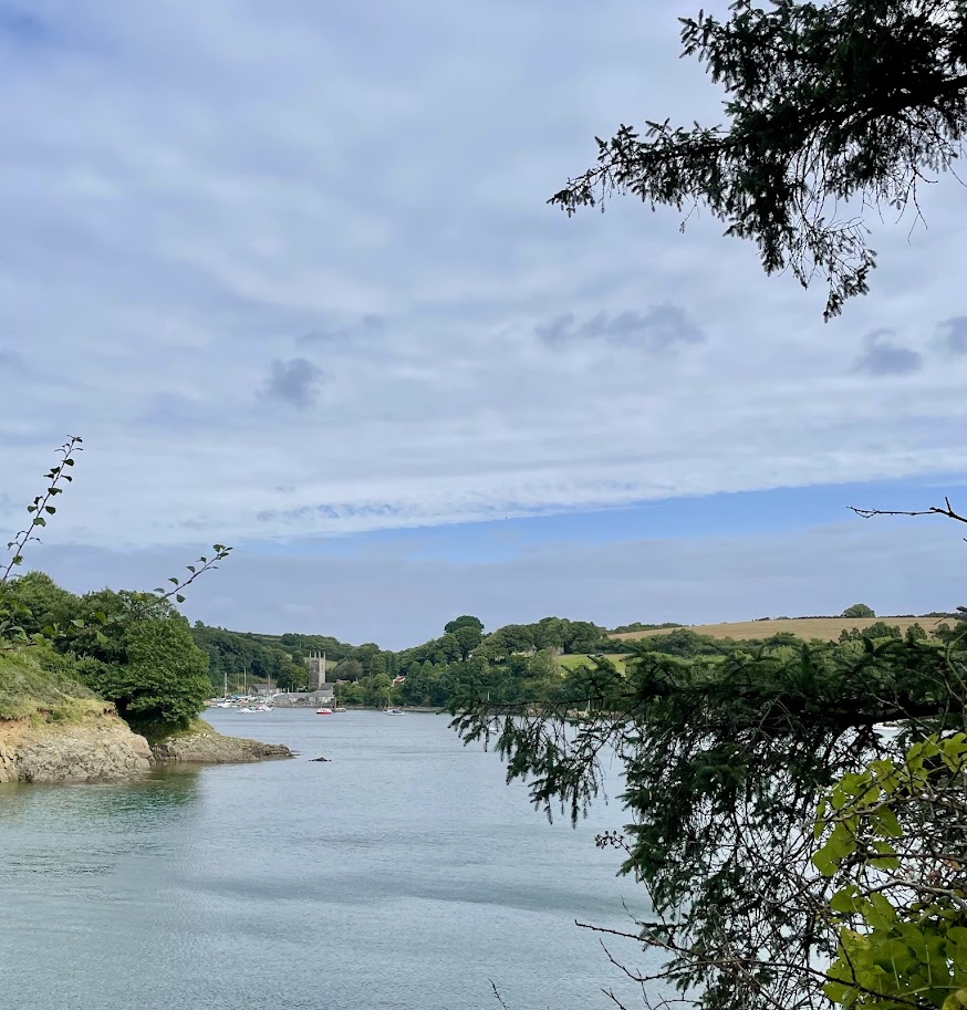
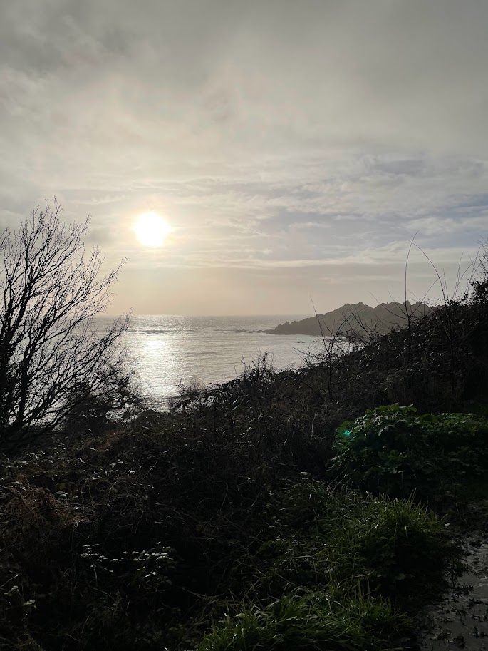
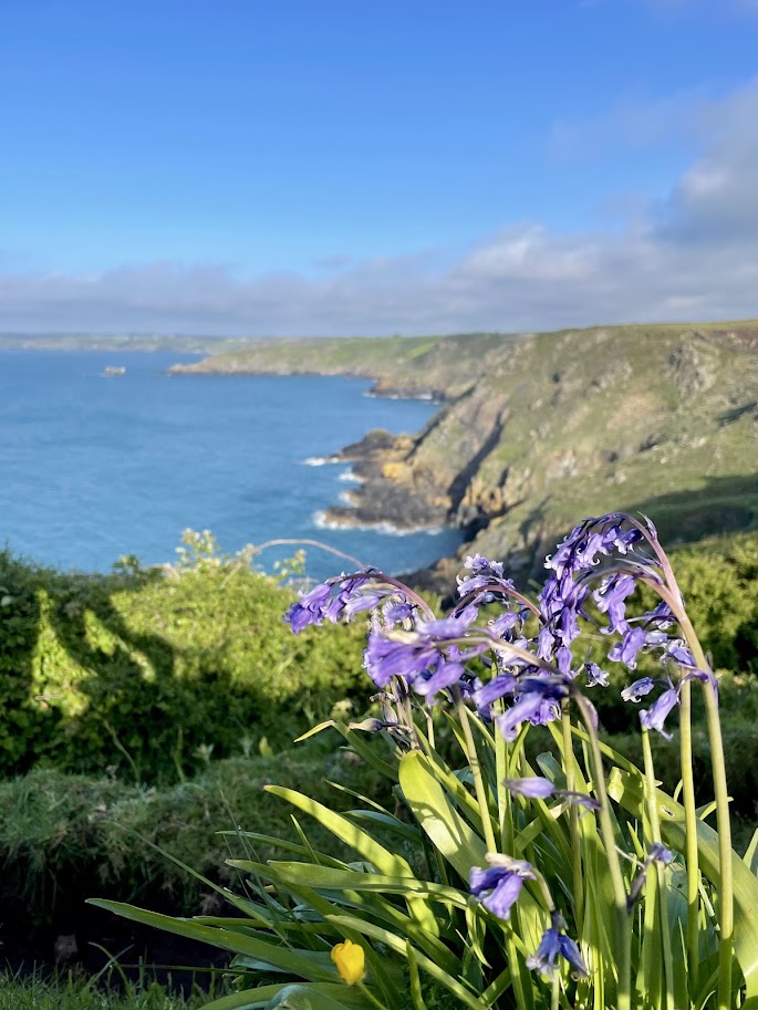
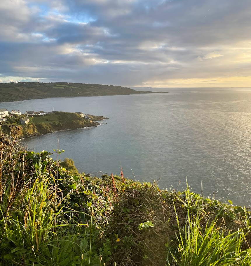
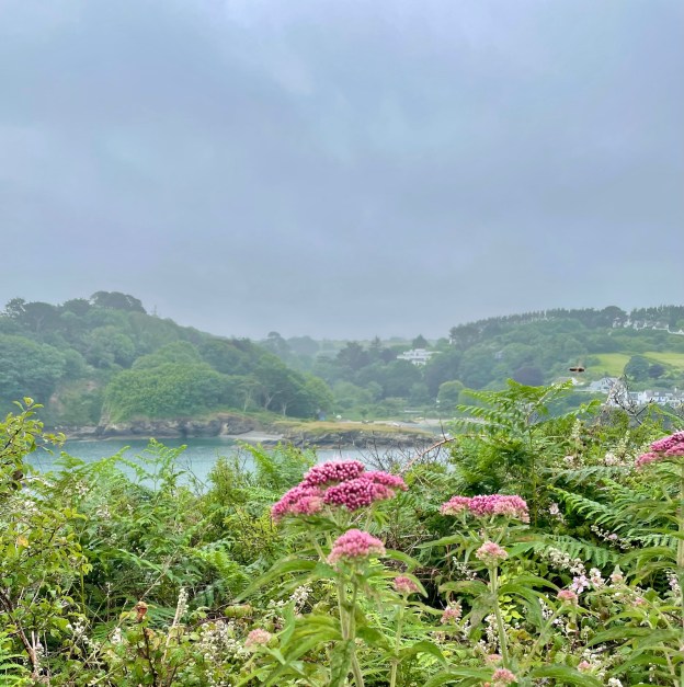
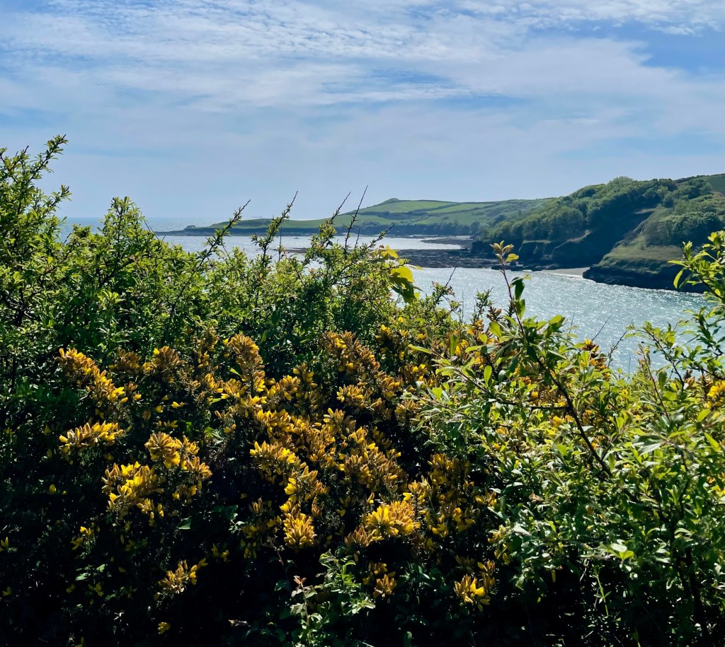
The village of Helford, and the gardens of Trebah are both picturesque places, there’s no better way of travelling between the two than by boat across the historic river crossing between Helford and Helford Passage. Helford river is tidal, it’s worth checking the ferry times for the day as crossings are paused when the tide is very low. The service is operated by Helford River Boats between April and October.

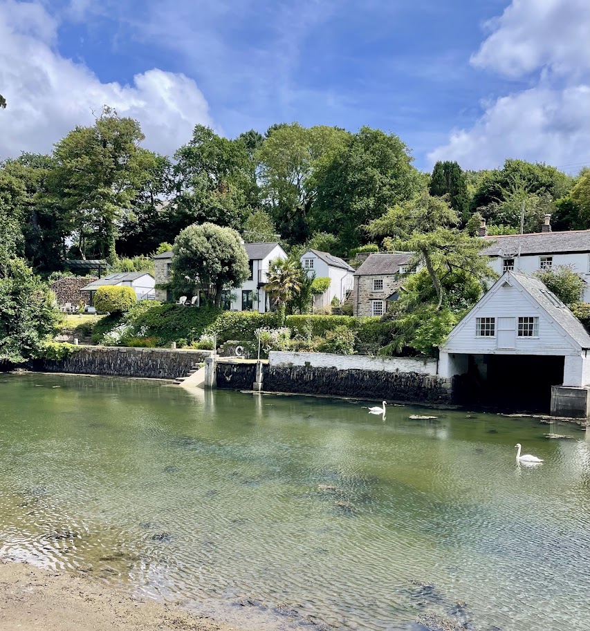
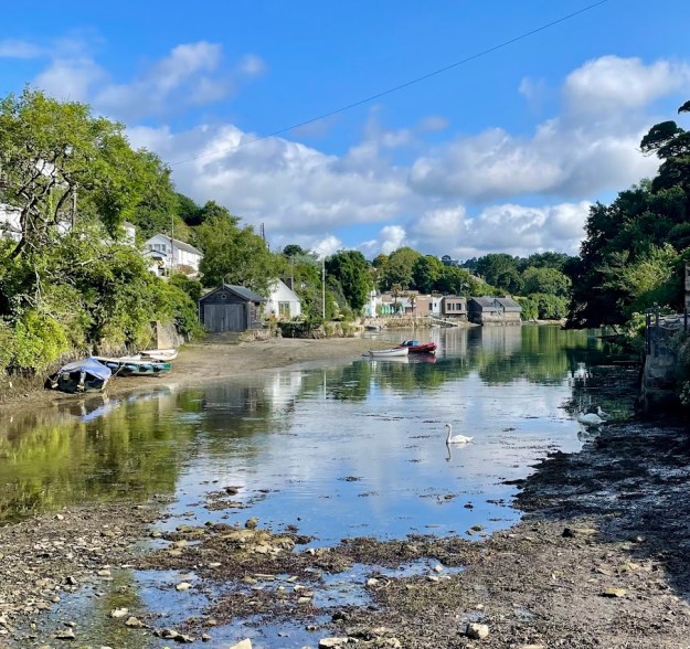
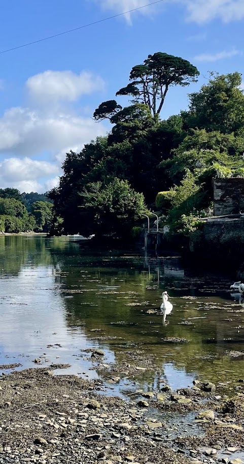
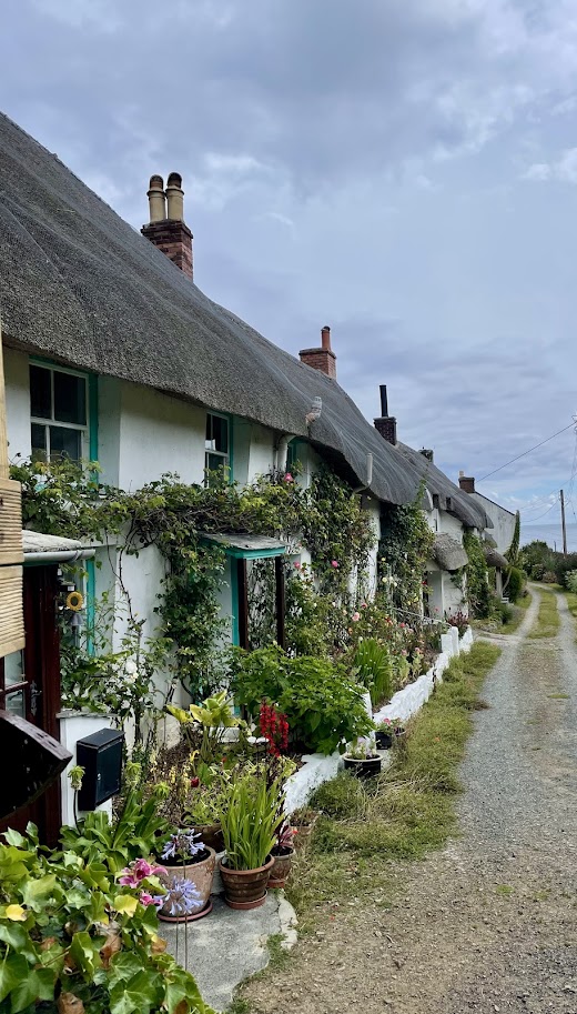
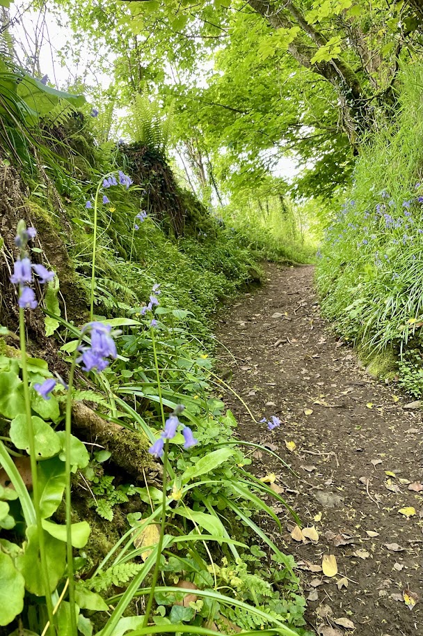
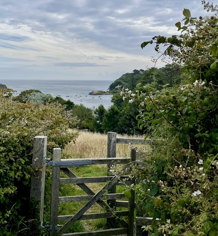
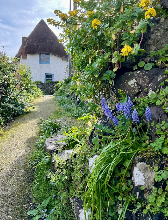
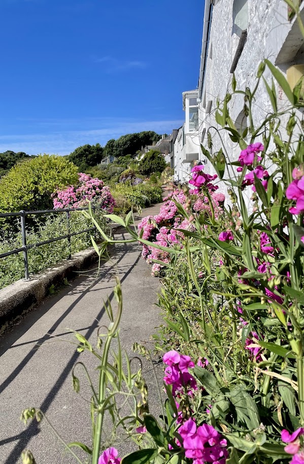
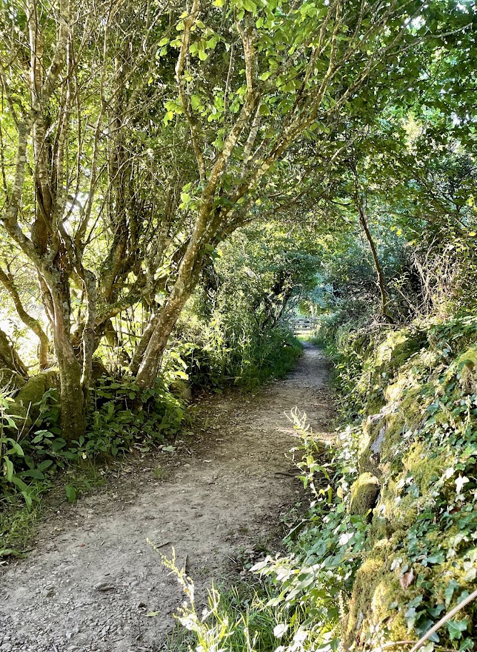
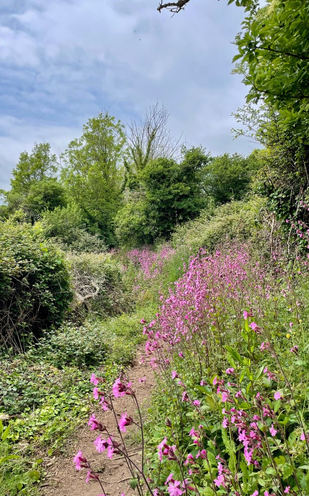
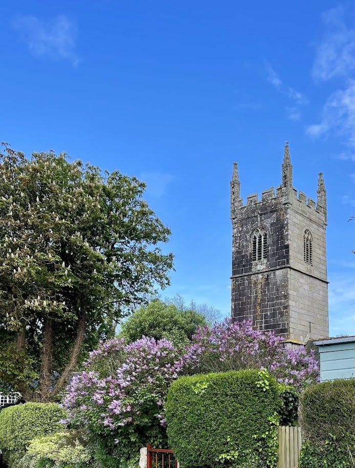
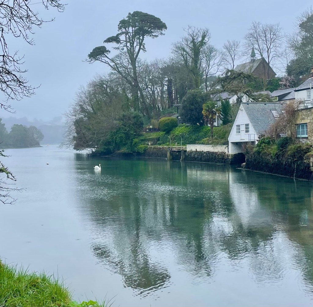
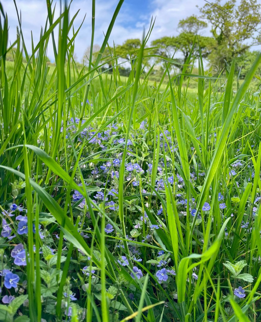
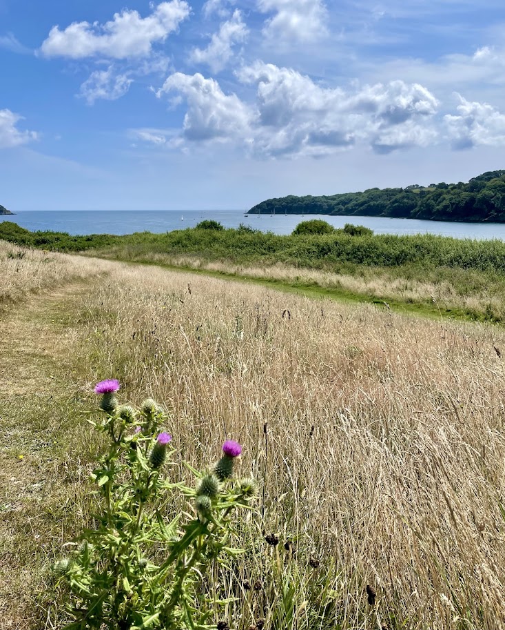
Helford village has a large, reasonably priced pay and display car park that makes a great starting point. Leave the car park, heading down hill, cross the river and keep the river on your right, to Ferry Point. This begins as a quiet road walk, passing the village shop and Shipwrights Arms pub, as the road heads steeply up hill follow the lane in front that continues alongside the river.

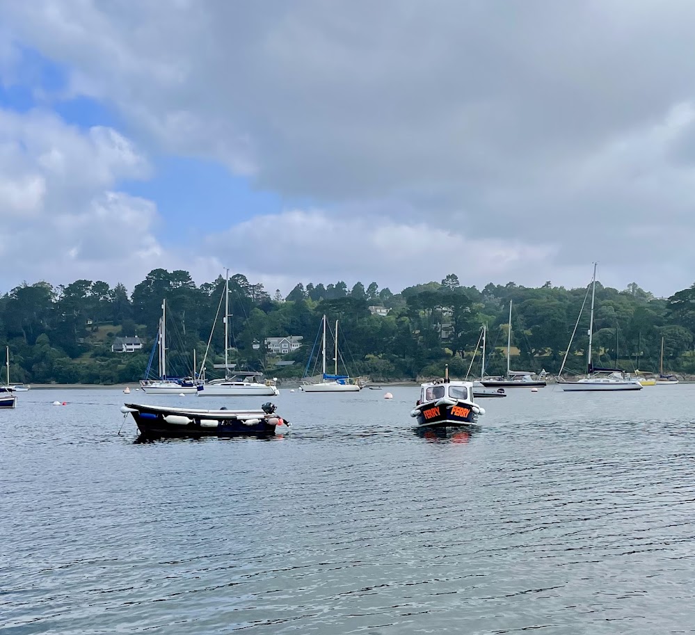
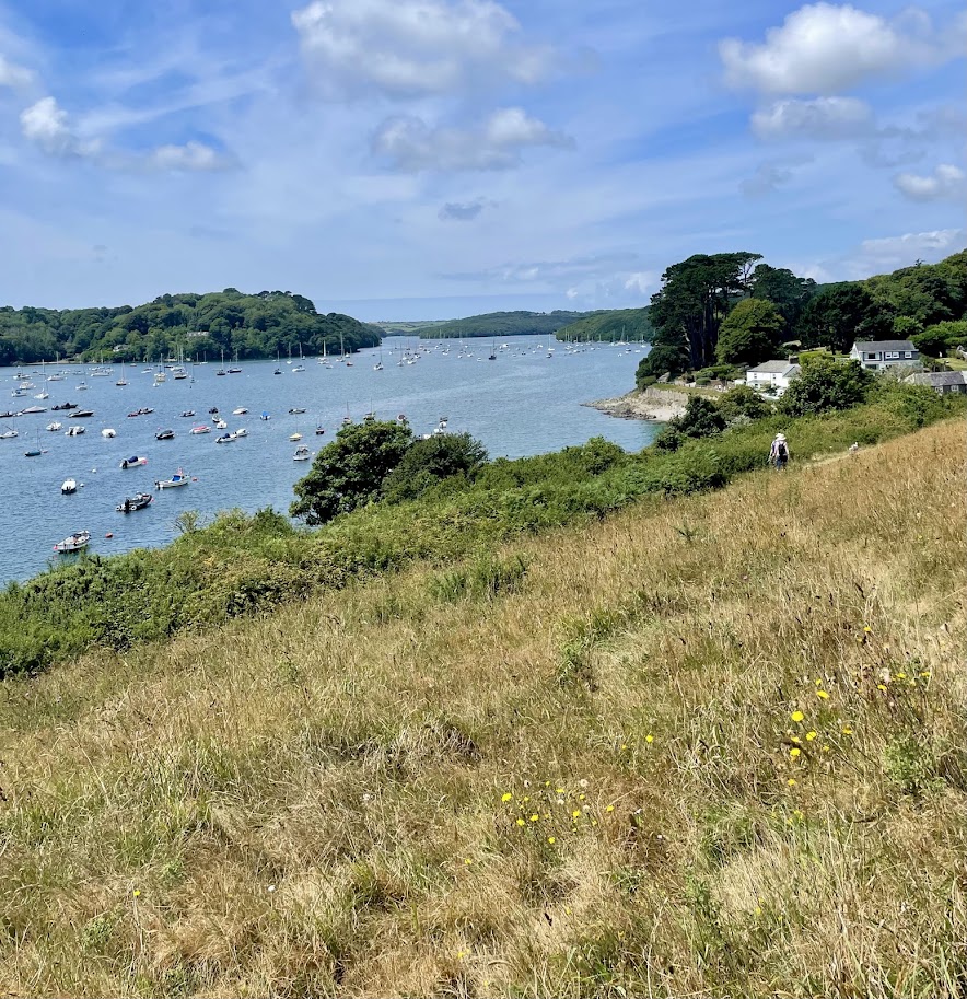
The Ferry is operated from the opposite side of the river at Helford Passage, to call the ferry across open the yellow circular sign to signal that you are waiting. Take a seat, and watch the small ferry head towards towards you. Once onboard, enjoy the different vantage point from the ferry that this short journey gives you, weaving between moored boats and operating as a water taxi when required.

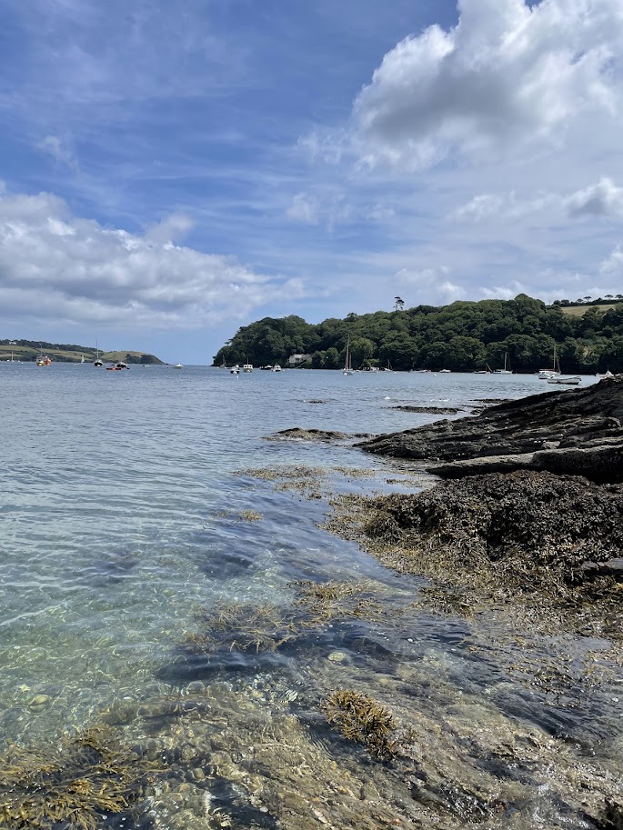
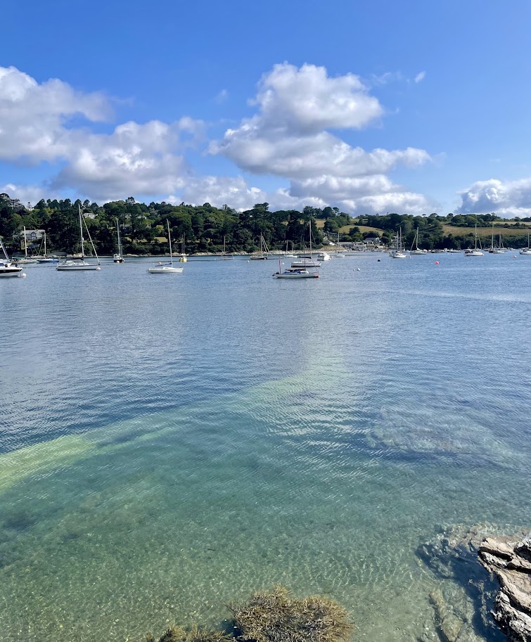
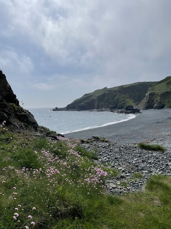
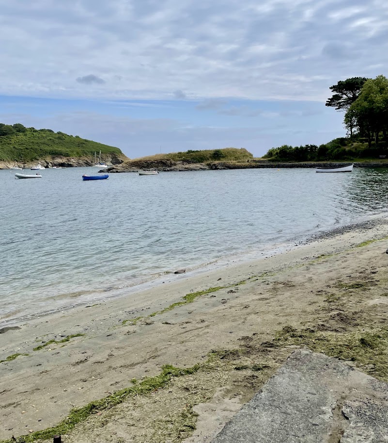
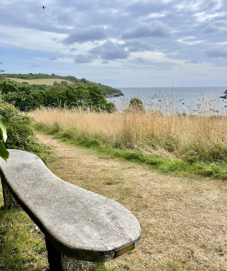
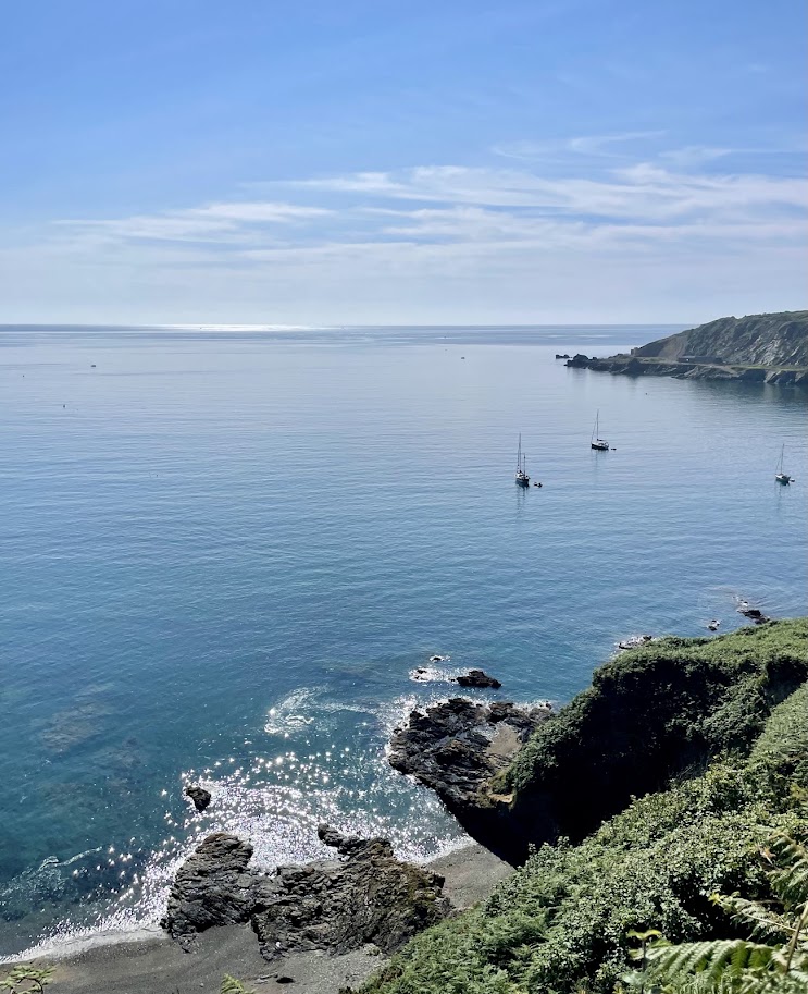
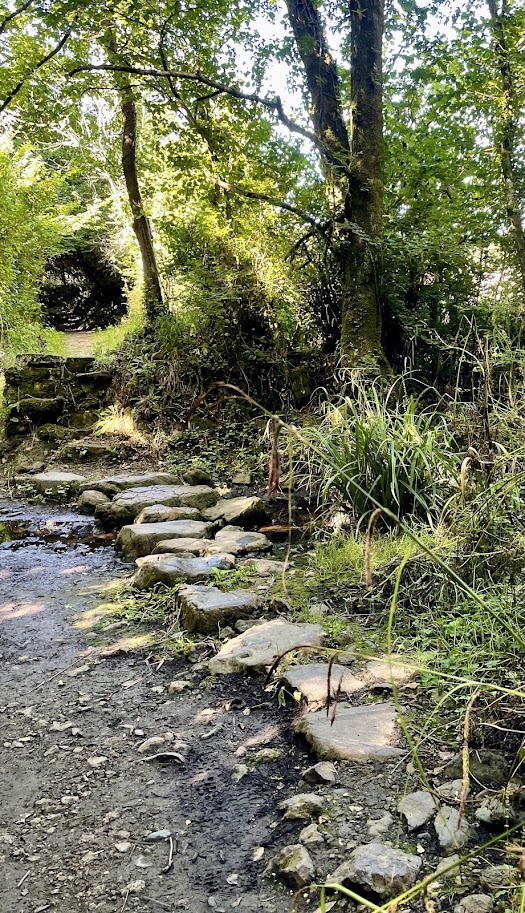
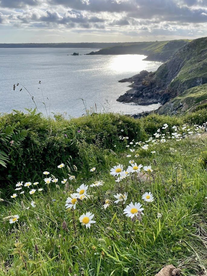
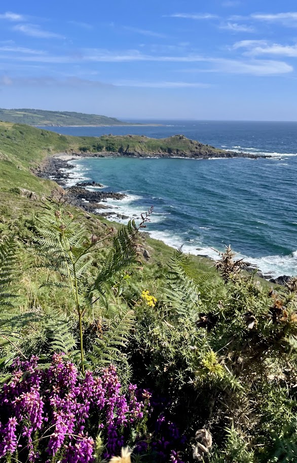
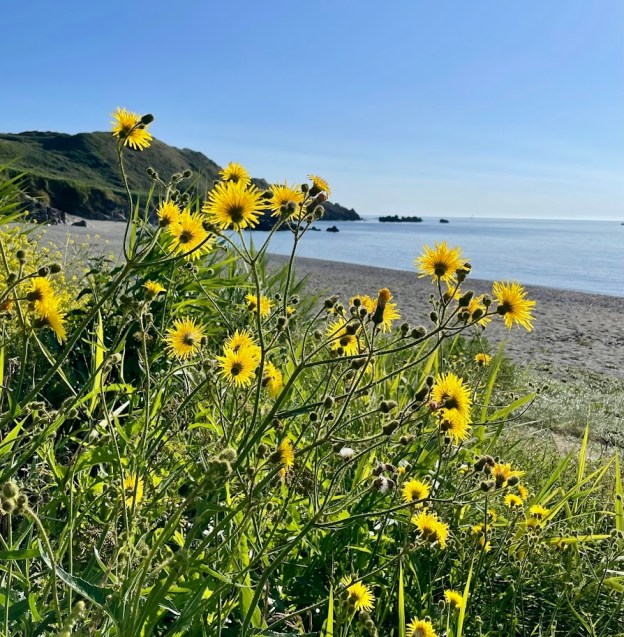
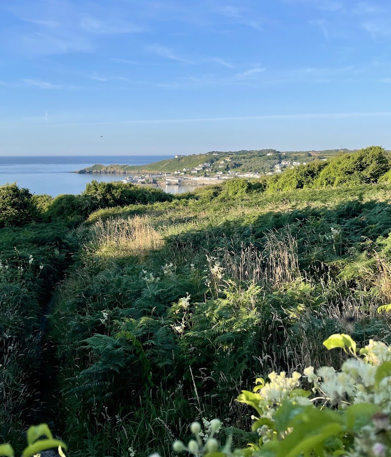
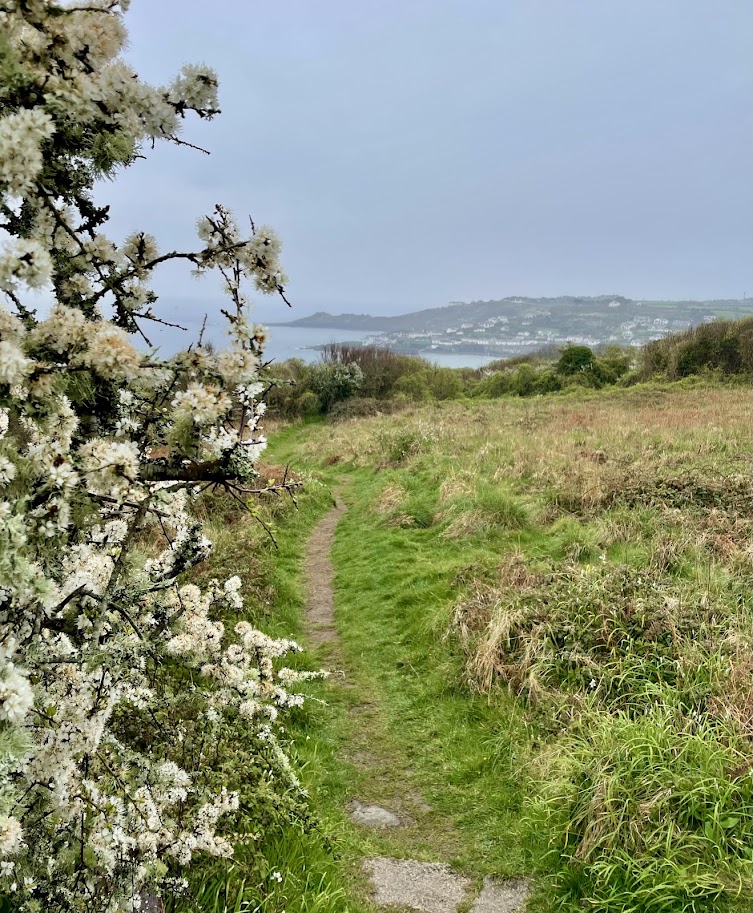
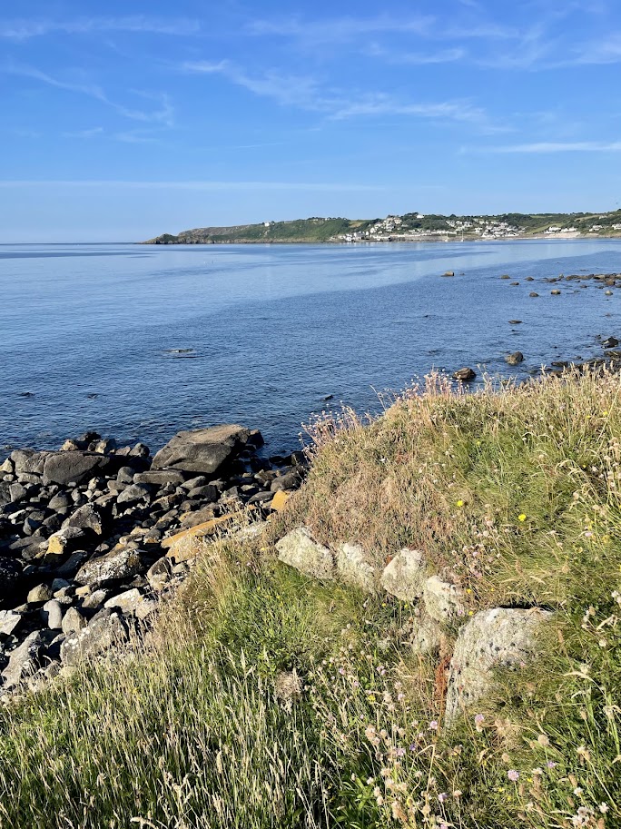
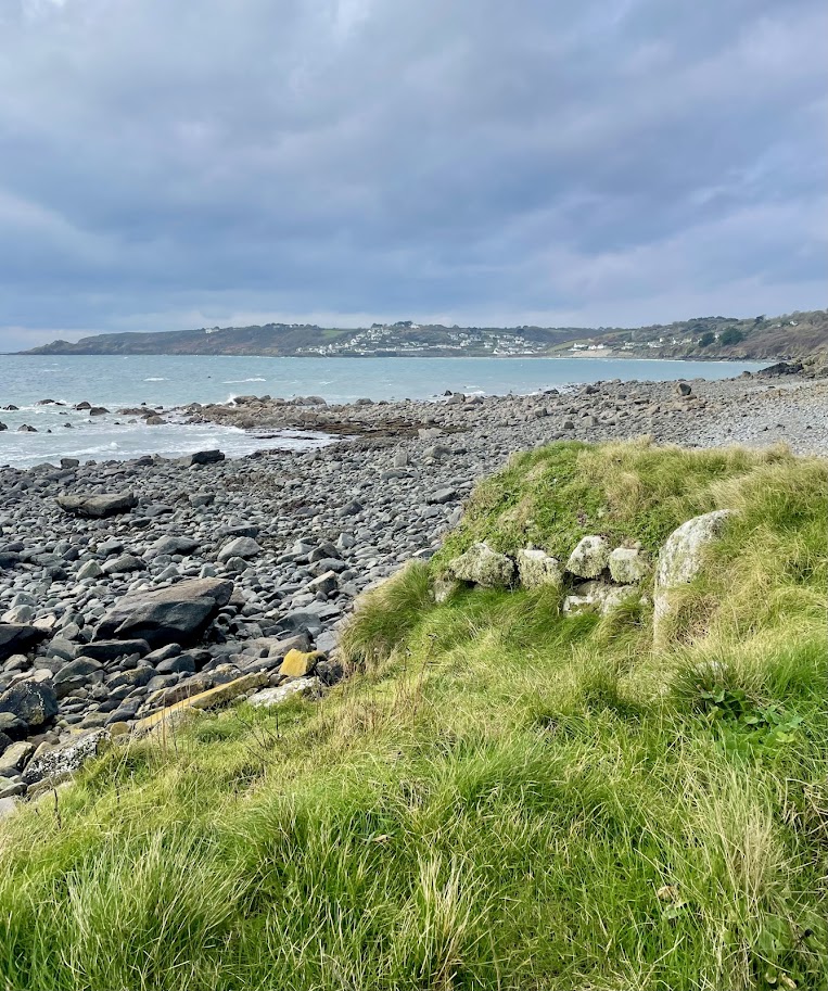
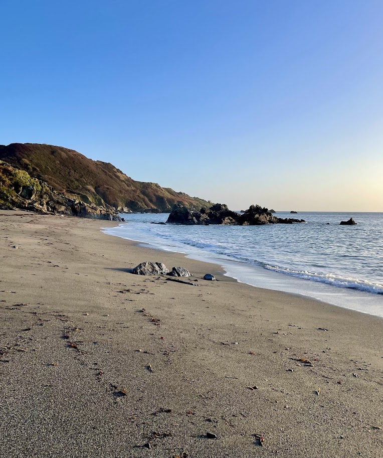
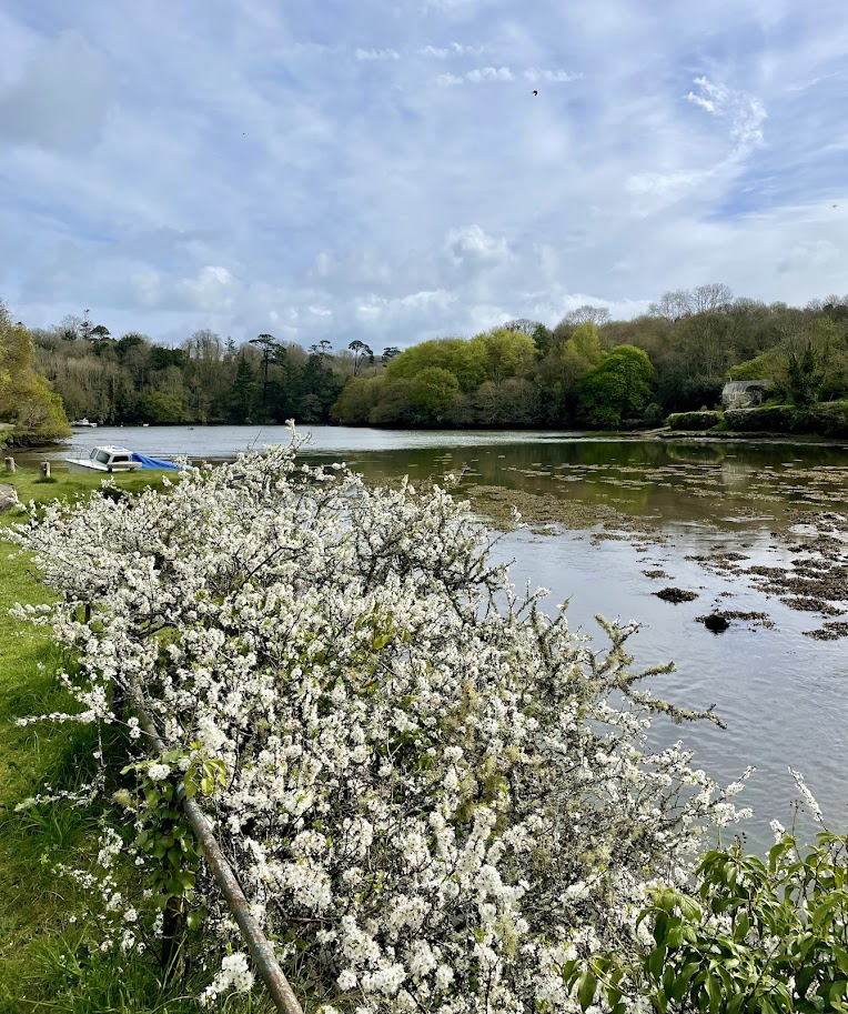
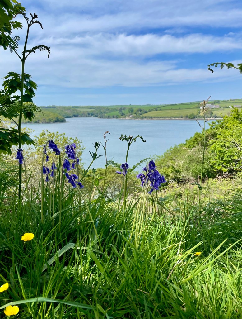
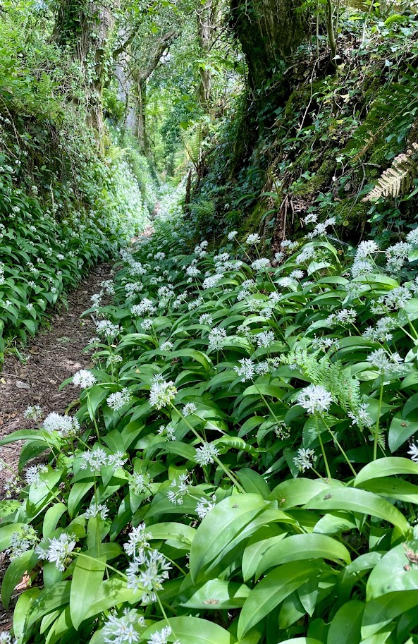
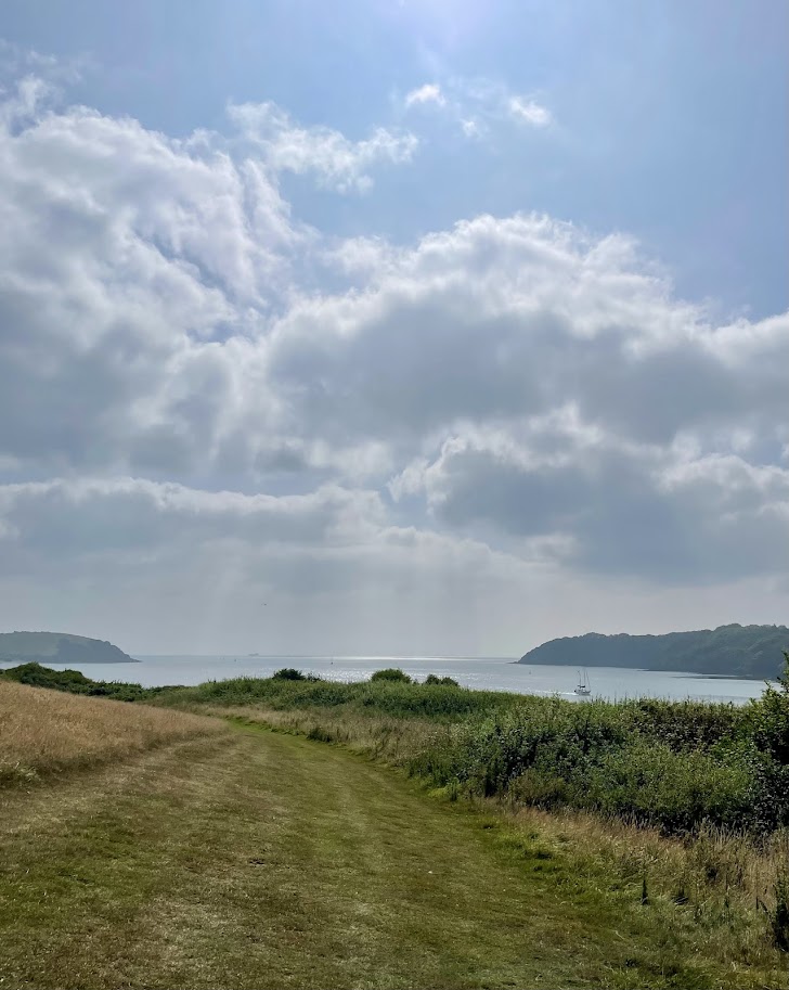
On arrival at Helford Passage walk up to the quiet road and head right along the road at the top of the beach (dogs are not allowed on the beach). At the far end of the beach a footpath heads uphill for a short distance, before levelling out for an easy walk towards the river mouth that can be seen in the distance. Join a road for a short distance down hill, and see Trebah gardens on your left and Trebah beach on your right, neither places can be entered from this path. Continue along the path, across a field that joins a lane after a short distance. If you head up hill a path leads to Trebah entrance, if you head down hill you arrive at the pretty beach at Durgan, passing the entrance to Glendurgan gardens.

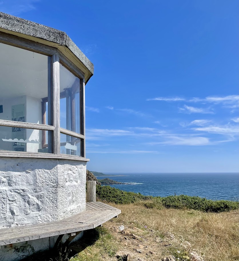
Trebah reception provides you with the information needed to make the most of your visit. Here there is a café, gift shop and area selling plants. Dogs on short leads are welcome at Trebah.

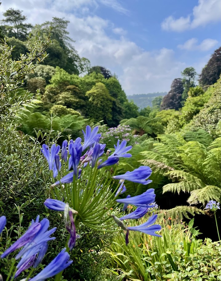
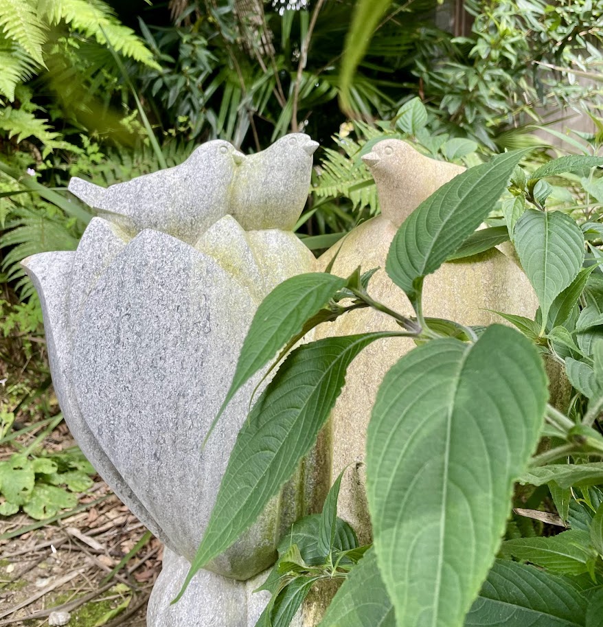
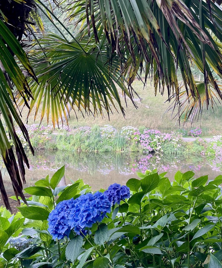
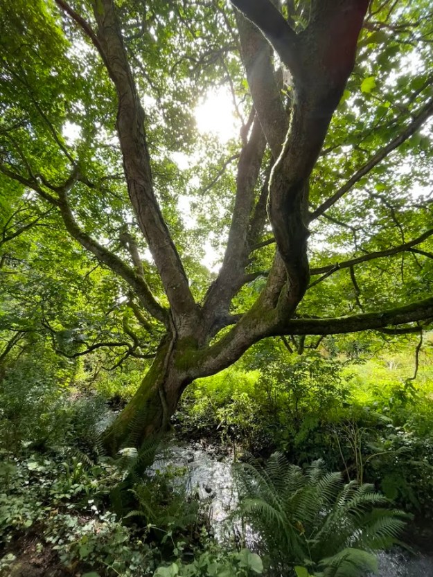
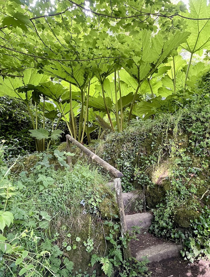
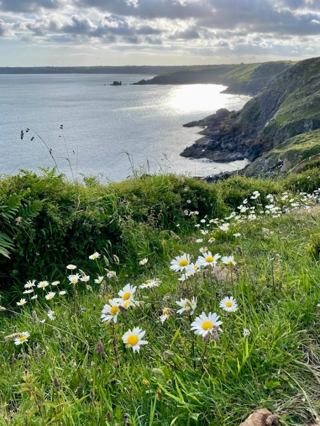
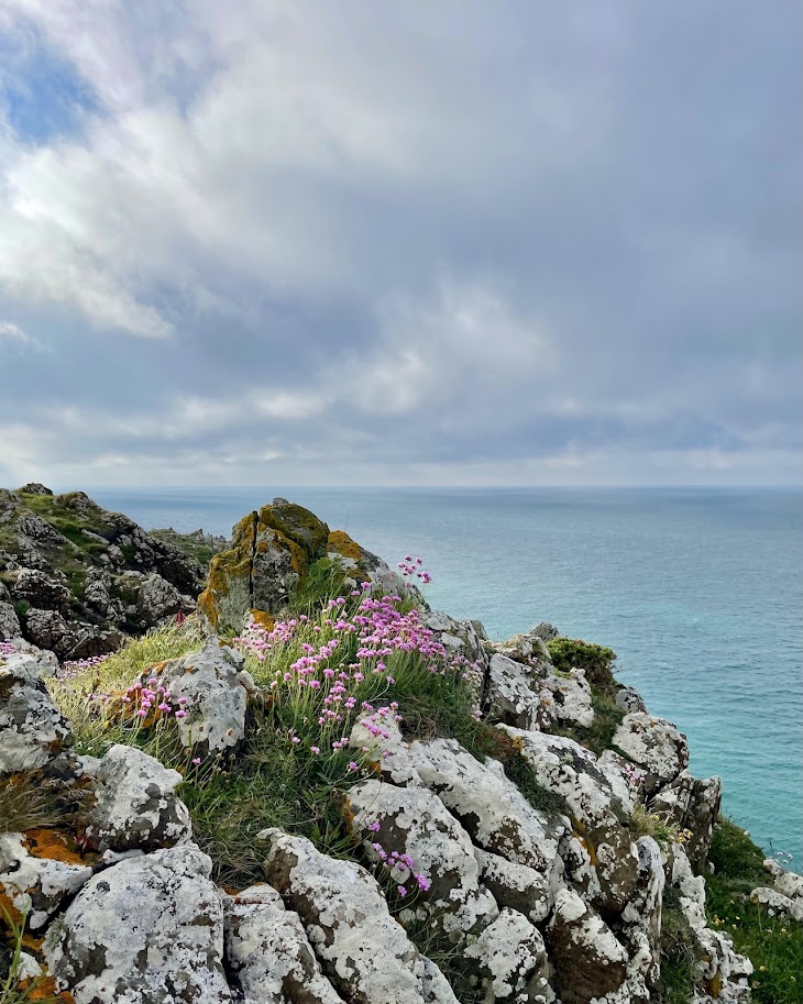
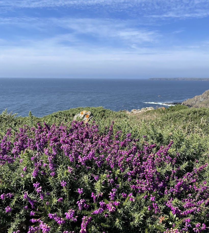
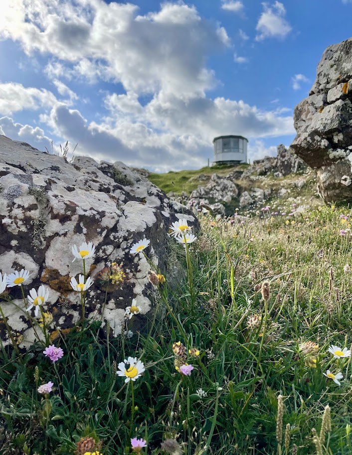
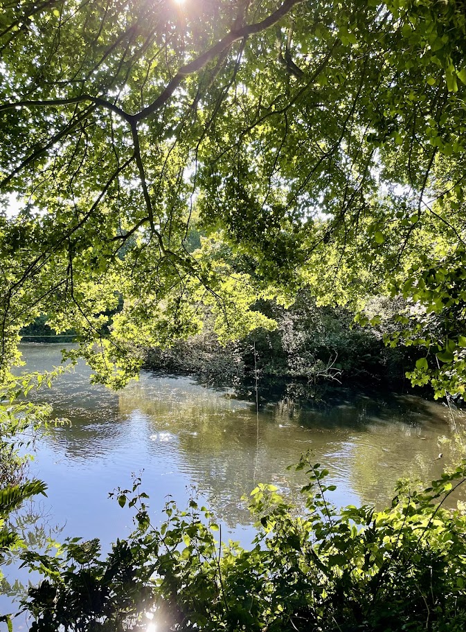
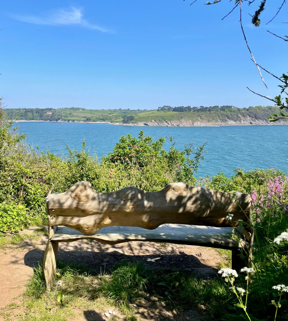
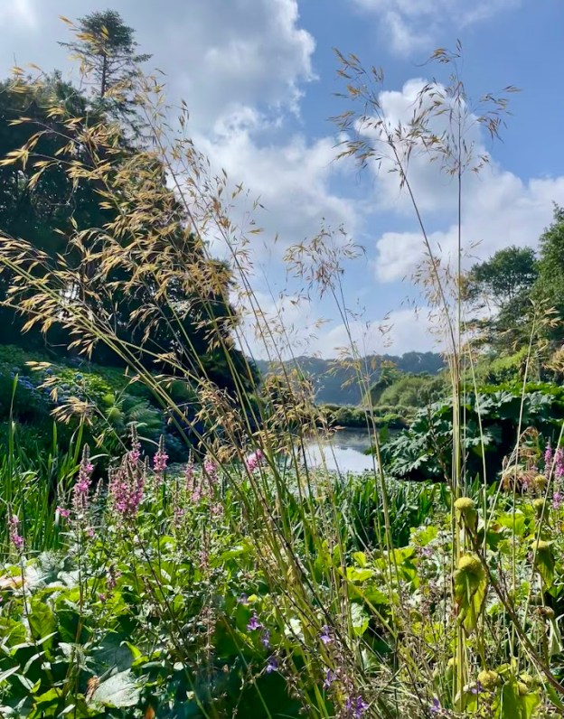
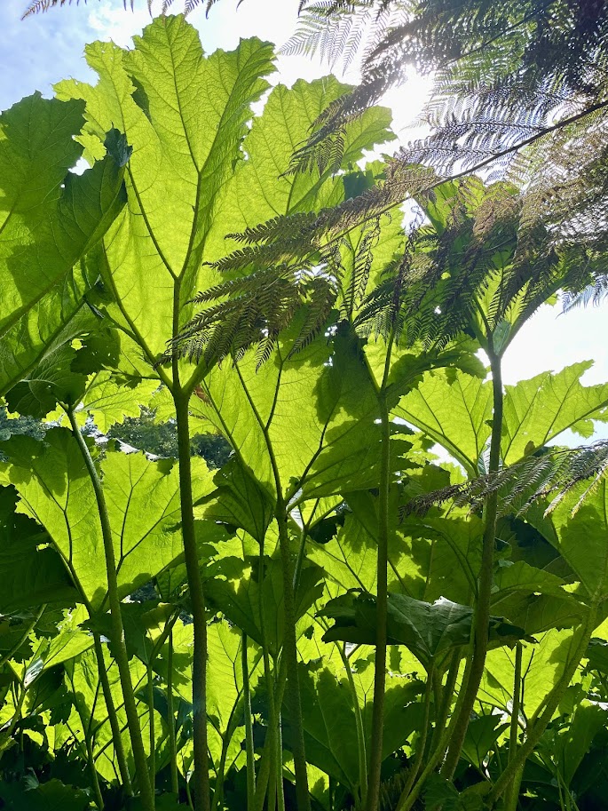
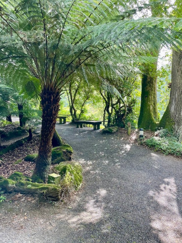
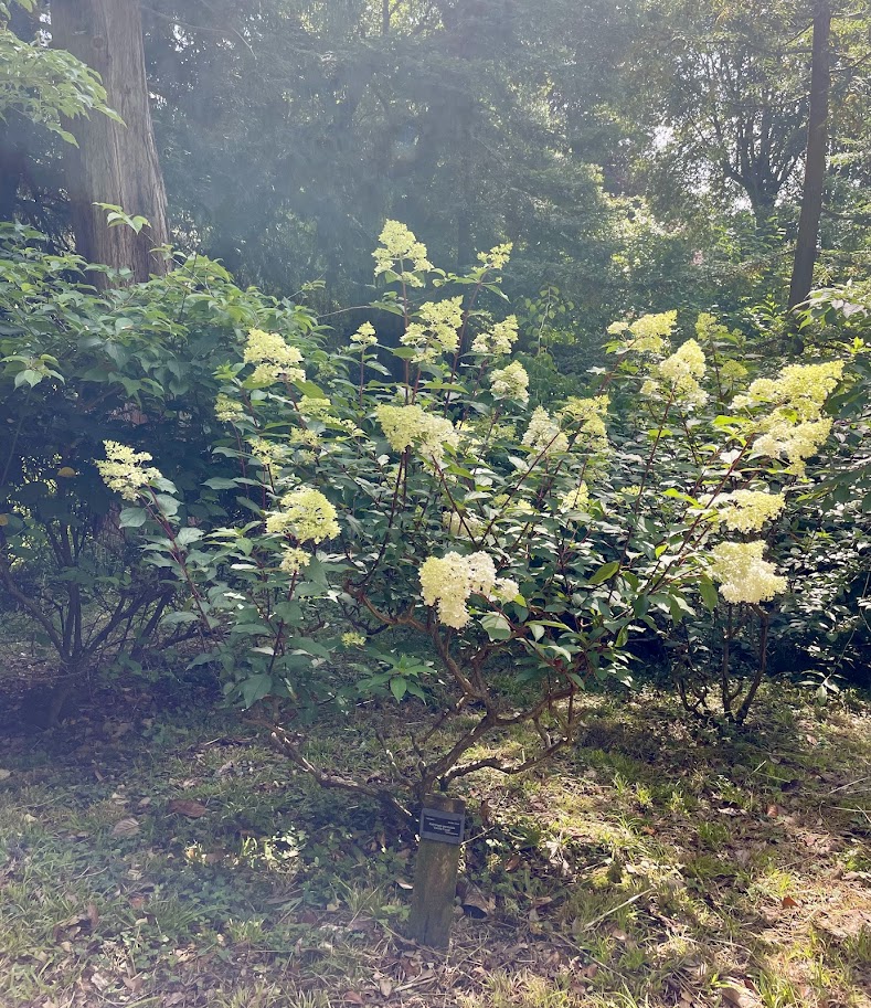
Trebah gardens are full of interesting areas, shaded seating under tree ferns and seats on high ground overlooking the gardens with distant glimpses of Helford river. Ponds magnify the floral beauty around them, in summer the pastel coloured hydrangeas reflecting in the ponds are a stunning sight to behold. Paths through the chunky stemmed gunnera, with their giant leaves high overhead evoke the intrepid explorer feeling! The gardens are a relaxing haven to immerse yourself in the beautiful natural environment.

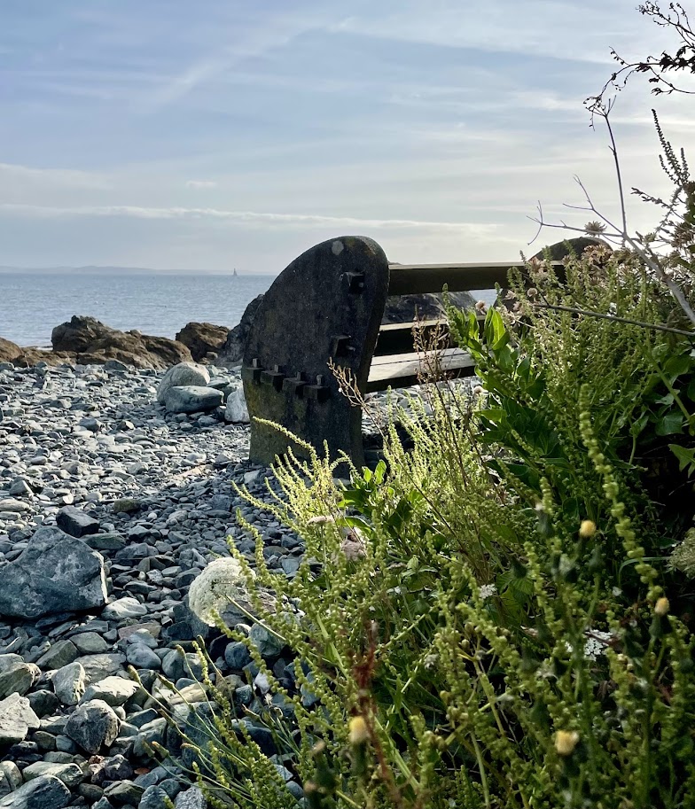
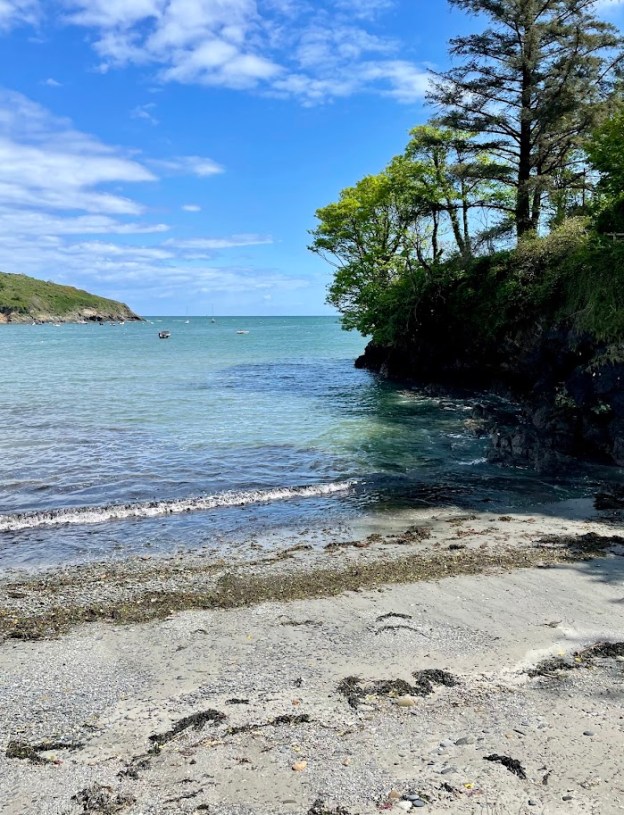
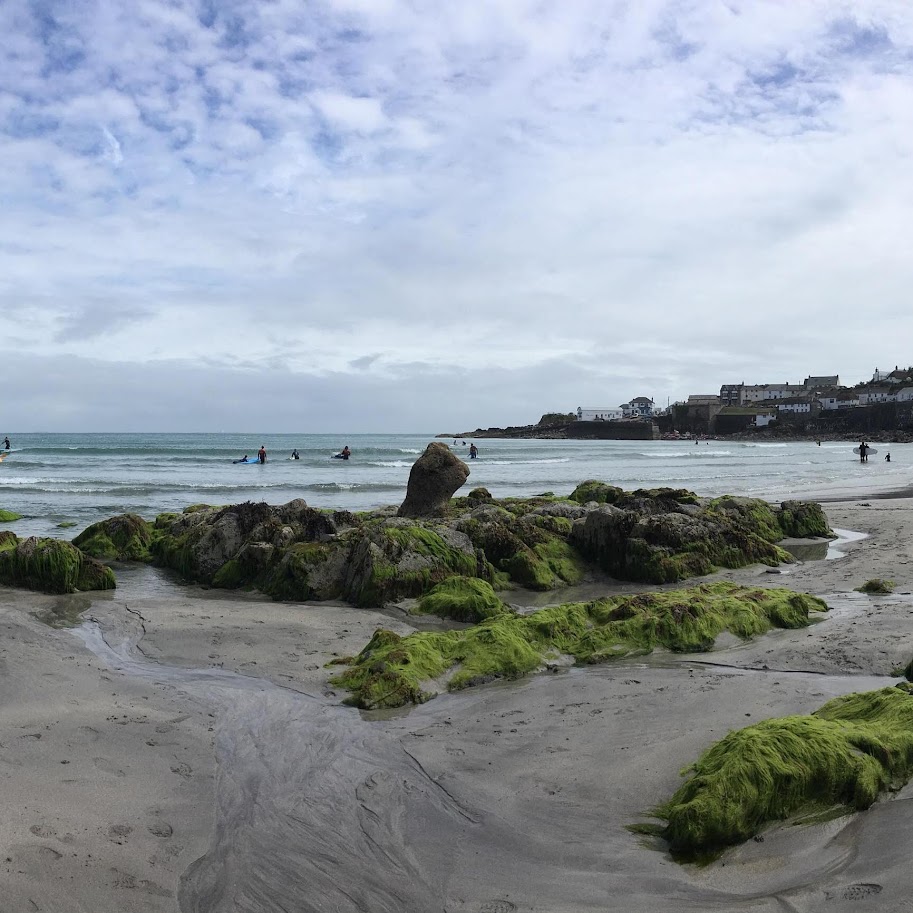
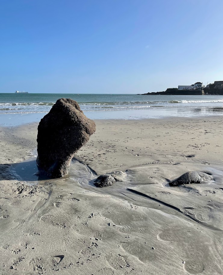
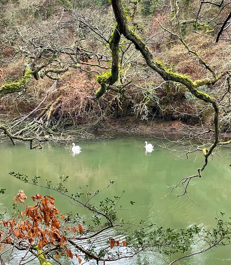
Before leaving the gardens it’s worth spending some time on Trebah’s private beach, a great place for a paddle or a swim. All this can be topped off with and an ice cream, available from the beach, while watching beach and river life.

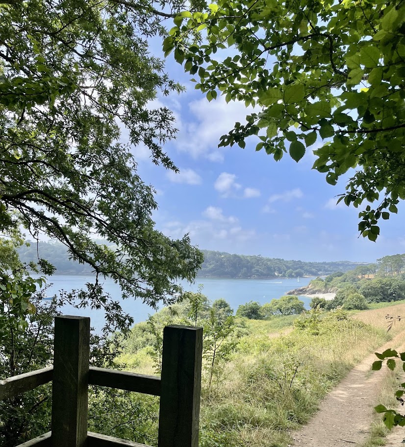
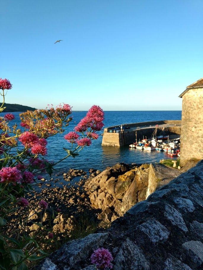
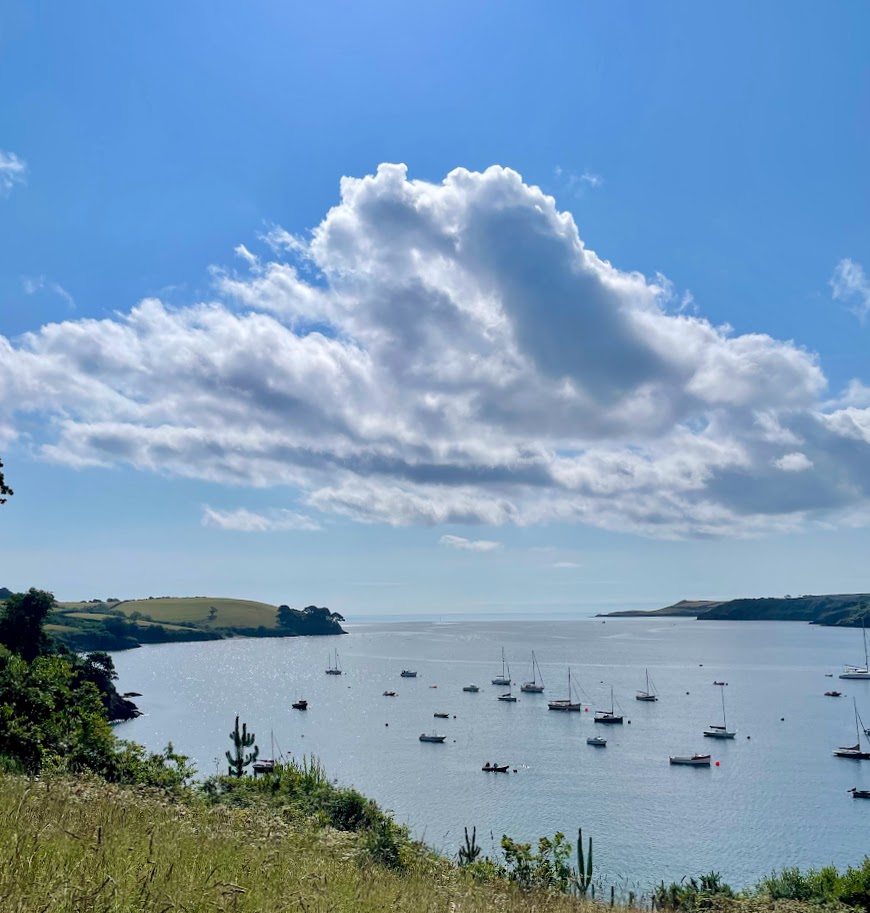
Head back up through the gardens to leave near the entrance. The path back to the ferry in this direction provides views inland, you may even notice Trebah beach from a different angle. From Helford Passage there is the opportunity to enjoy The Ferry Boat Inn, before catching the ferry back to Helford and reminiscing on the sights you’ve seen.

The Practicalities

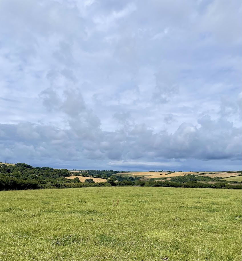
The length of the walk varies depending on how much walking you do in the gardens, a likely walk length is approximately 5 miles. The footpath from the ferry to the gardens is quite gentle and about a mile.

In Helford both Holy Mackerel and the Shipwright’s Arms offer great places to eat and are dog friendly. Helford shop offers an opportunity to restock.

The Ferry Boat Inn at Helford River Passage offers food with a great view of the river. It’s dog friendly too.

There are public toilets situated in Helford car park.

Dogs travel for free on the ferry!

A circular walk from St Keverne to Porthallow, returning along the coast path to Porthoustock and back to St Keverne through the Trenoweth Valley.

The village of St Keverne houses one of the largest parish churches in Cornwall, built in the 15th century. The bronze statues on the roadside as you enter the village commemorate St Keverne’s link to the rebellious march to London lead by the village blacksmith, Michael Joseph An Gof, in May 1497.

This walk begins by leaving St Keverne Square on the Porthallow road, after a few meters turn right down Well Lane. As you cross the small stream if you look to your right the moss covered stones of the old foot bridge can be seen. Cross the lane, go over the stile and turn right. Follow this lane along the valley before heading up hill across a few fields and joining a road that you cross, diagonally right. Walk across a few more fields and the sea and Falmouth Bay come into view as you head towards Porthallow. Follow a lane down, through the hamlet of Tregaminion, that eventually leads to a small field before joining another old lane that leads you to Porthallow. When you reach the road join it and head downhill to Porthallow.

At Porthallow dog friendly beach, the footpath heads steeply up the cliff on your right through the trees. When the path reaches the top of the cliff there are superb views across Falmouth Bay and beyond along the south coast of Cornwall. After a short distance climb a wooden stile, immediately on the left the new stretch of coast path opens up before you and heads down hill. As you near sea level and the path levels out continue in front of the Cornish sea salt company here the century old tradition of harvesting salt from the sea continues.

You soon reach the dog friendly shingle cove of Porthkerris, where Porthkerris divers offer the opportunity to enjoy the sea from a different angle, and offers a seasonal beach cafe. The path continues across the beach and climbs the cliff beyond, continuing around Pencra Head to the village of Porthoustock with it’s jetty and quarry.

With the sea behind you, head inland. On leaving the beach, the capstain from the wreck of “The Bay of Panama” is passed, continue right up the hill for a short distance. The footpath turns off left and runs in front of a row of cottages, that become a row of thatched cottages. Follow the path slightly up hill, past a few houses at Trenoweth Mill where you join the road for a few meters before a lane on the right leads you to Trenoweth Valley. The beech lined path, beside the stream is both tranquil and beautiful, filled with moss covered stones and ferns. Continue up hill and across a few fields to St Keverne Church, where you walk through the Church yard and back to the village square.

The Practicalities

Approximately 4.5 miles.

St Keverne, Porthallow and Porthoustock all have honesty box car parking making it easy to start the walk from any of those locations.

Porthallow has public toilets situated on the beach.

On joining the road at Porthallow there is the option to take a short detour to Fat Apples Cafe.

Porthkerris has a seasonal beach cafe.

Porthoustock – The beach box is situated on the beach. There are public toilets behind the old lifeboat house, now the village hall.

St Keverne has two pubs The Three Tuns and The White Hart, also a village shop and butchers with delicatessen. There are also public toilets in St Keverne.

A circular walk from Porthallow to Carne, following the river estuary through Gillan, returning on the coast path to Porthallow.

One of the many reasons this walk is so special is that the footpath guides you through a range of habitats and landscapes. Initially through a wooded valley, then crossing fields to Carne where you walk beside the river until it meets the sea, and then follow the coast back to Porthallow. There are also a few secluded beaches only reached on foot.

Situated at the top of Porthallow beach is the mid point marker for the Southwest Coast Path. This stone structure stands tall and displays engraved metal plates, on one side capturing the flora and fauna of the Lizard Peninsula, on the other side the ‘Fading Voices‘ of Pralla, the local name for Porthallow. The ‘Fading Voices‘ creates a written record of Cornish dialect, this was and is spoken language, often written by people from outside the area so the spellings are up for debate!

The walk starts heading inland, head up the beach and join the road heading right past the phone box, continue straight ahead past old cottages on your right. Follow the road around to the left for a short distance, before heading up hill take the lane on your right, walking between a terraced row of houses and their gardens on the opposite side of the path. Walk along this valley, initially wooded, across a field before a passing through a wooded area that leads to a wooden bridge and joins a lane heading up hill.

The hamlet of Treglossick comes into view, referred to locally as Ludjack, one of the words engraved on the mid point marker on Porthallow beach. Join the road and turn left, at the T junction turn left, just before a road joins from the left is a footpath on your right up a hedge that crosses several fields. Join a lane, turning left at the top as you reach the ancient hamlet of Trewothack. The footpath weaves around Trewothack, between two large farm sheds before joining a lane that leads you to more fields.

As you cross these fields and head down hill, in the distance on your left you can see the church tower of Manaccan nestled in the trees. On your right you get glimpses of Falmouth Bay in the distance. Join the road for a short distance heading downhill, taking the footpath on your right before the small bridge over the river as you enter Carne. Immediately the path takes you through the sweeping boughs of a magnificent horse chestnut tree. With boughs sweeping out over the river reflected on to the water this is a uniquely beautiful.

This path weaves it’s way along the wooded banks of Gillan estuary, eventually across the small sandy beach of Flushing before reaching Gillan’s sandy shores. Along the way are seats with stunning views and a remote feel. As you leave Flushing the path continues to follow the estuary, looking across to the opposite bank you can see the creek side church of St Anthony. At Gillan the small low headland called The Herra offers natural shelter, seating and a small shingle beach on the far side with views across to Falmouth. Return from The Herra and follow the path alongside a large garden, alongside the estuary eventually reaching Trewarnnevas cliffs that lead on to Nare Point Coastal Lookout Station.

As you continue past Nare Head you notice a change in habitat to a coastal environment, follow the path above the sea to Porthallow.

The practicalities

Approximately 6.5 miles

Porthallow has honesty box car parking on the beach (cash or card), public toilets are on the beach.

Fat Apples is a short 300 meter walk up from the beach in Porthallow, with the sea behind you walk up the road on your left.

The New Inn, Manaccan could be a detour from Carne, rather than joining the footpath, continue along the road. Pass a road turn off to the left, after layby parking on your left there is a footpath on your right up through a wooded valley to Manaccan. On reaching the made up lane turn left, left again when you join the road. With the church on your right take the road left. Below a road off to the right is the The New Inn.

A circular walk from Coverack to Black Head

We began our walk from the pretty fishing village of Coverack, meandering along the sea front and up the hill, past the Church. As the road levels out and the pavement starts, cross the road and walk up the little lane at the left hand end of the grass bank. This lane is known locally as “The Gardens”, and has been used by generations of village children as a short cut to the village school at the top of hill.

Pass steps on your right, then take the right hand fork of the lane that joins the road opposite the old Wesleyan Chapel. Follow the road down hill and take the lane on the right, below the chapel that leads you in front of a row of old coastguard cottages. Stay on this lane to the top, up some steps and diagonally across a field. Spare a thought for coastguards of days gone by who did this route on foot and often in the dark! They were assisted by whitewashing stones at intervals along the path.

On joining the road, turn left in front of an old thatched farmhouse and modern bungalow. Follow the bungalow hedge, blue with flamboyant agapanthus flowers in summer. Take the path on the right, that weaves around. If you look closely you may see an old hand pump in the hedge on the right, stepping stones make it easier to cross the stream. Take the footpath immediately right over the wooden stile, head diagonally right across this field. Join the concrete road and turn right to the hamlet of Trewills, a huddle of old properties with some lovely colourful gardens. A short way past Trewillis there is a stile over the hedge on your left (you could continue on the road and take the next left). Take the footpath diagonally right across the field to the hamlet of Trelever, on joining the road turn left. Follow the road around to the right, this becomes a lane and eventually a footpath with sea views across to Lizard point, distinctive with Lizard lighthouse topping the headland.

Follow the coast path around to the left, as you emerge onto the headland if you look right you can see the sandy beaches of Kennack and Lankidden.

Ponies graze the headland to keep the foliage under control, allowing a host of wild flowers to flourish, different coloured flowers dominate depending on the season. Tiny delicate blue squill and bluebells in spring, shades of pink and purple heathers in summer to name but a few.

On the distant headland Black Head hut comes into view, when you are some way off. During the Napoleonic Wars a Naval Signal House was situated there, there is no evidence of the building’s stone walls. When WW1 coastal patrols were increasing there was no shelter on Black Head, in 1915 a purpose built Watch Hut was erected. For generations the Black Head has been used as a look out for shoals of pilchards, several spend there time carving their names and initials into the rocks. If you look closely several can still be found, dated from the 1870’s.

Once you pass Black Head you see views across Chynall’s Point, Lowland Point, Falmouth Bay and beyond. Continue along this path that runs along the cliff edge, before veering inland slightly beside the sculpture park and returning to the stepping stones across the stream used earlier in the walk. On joining the road turn right, walking downhill towards the old Headland Hotel, now apartments, take the path on the left before reaching them. Take the steps down and turn left towards Coverack, on this approach to Coverack you get good view of the Watch House perched on the cliff edge before The Paris. Strategically placed there in the late 18th century to house the local excise men to combat the smugglers. It was taken over in the 1820s by the Coastguard Service.

On joining the made up lane turn right in front of the coastguard cottages and walk down into the village, along the sea front to your starting point.

The practicalities:

Approximately 4.5 miles

Coverack has honesty box car parking – card or cash, public toilets are situated in the top car park. There are more public toilets by the harbour.

There are several lovely places to eat, including the Bay Hotel (dog friendly, set off the road above the beach with spectacular views) and The Loft, near the harbour.

The gift shops in the village sell many locally produced items and goods – The Old Mill Shop and The Seine Loft.

Godrevy beach

A circular walk from Roskilly’s Farm to Coverack, returning along the newly extended coast path to Giant’s Quoits

Parking at Roskilly’s Farm car park turn right up the road for a short distance on your left you see a lane signed Trebarveth Farm the wooden fence at the top of the lane has a pedestrian gate to a field that you walk diagnonally left across to a small lane. Continue across fields towards Coverack, passing through the hamlets of Trevalsoe and Boscarnon before reaching an old stone hedged lane. Shaded by trees, moss has covered the stones, including the ruins of a small farm house on your right called Gilly High Rocks.

After crossing a few more fields, climb a stile over a Cornish hedge and enjoy a wonderful view of Coverack with the distinctive Chynalls Head beyond, it’s geologically significant also being made entirely of serpentine. Very different to the gabbro you are standing on when you admire the view.

Continue down hill and join a made up lane, either turn left for the circular walk or right to detour into the village of Coverack, a charming old fishing village. There places to eat including a pub and the Bay Hotel, open to non residence and dog friendly there are also a few small gift shops.

At low tide, Coverack has a lovely sandy beach, the amount of sand varies depending on the amount and strength of recent east wind. Coverack beach is of geological interest were the earth’s crust and earth’s mantle meet – the Moho. Additionally, the upright rock visible at low tide near the centre of the beach is an unusual feature and named locally as the Giant’s fist or Giant’s thumb.

When you are refreshed, rested and ready to return to the circular walk head back up the lane you walked along to enter Coverack until it heads down hill, near it’s end the footpath is signed on your right. Winding between the boulders, the path can be quite wet in places as water heads to the sea from the higher ground. This moisture encourages wonderful wild flowers and is a haven for wildlife. Looking seawards, its common to see cormorants and other sea birds flying by or resting on the craggy outcrops of rocks.

It’s easy to pass Trebarveth salt works unnoticed, on the right of the path, part of a circular structure that dates back to the 2nd century AD. Salt ovens once boiled sea water; the water evaporated leaving behind salt that was packed in pots and exported. The salt works (What3words octagonal.fund.weaned) are fast eroding into the sea and now only a small part of the sunken stone walls can be seen.

Continue along the path to Lowland point, with it’s distinctive mound made from stones cleared from surrounding fields. A short distance after a stone cove is a favourite swimming spot with seals who can be seen very close to the shore bottling and basking on the sea’s surface. It’s easy to pass by without noticing them and worth taking a look, an old slab of concrete track now pulled from the land onto the rocks is a distinctive feature to reassure you are in the right place.

The path leads you around the now abandoned Dean Quarry, with it’s prominent jetty and host of building a wonderful wild life habitat. As you continue along the path looking seaward, the tips of the infamous group of rocks called the Manacles are often clearly visible, most of the mountainous reef of rocks remains under the cover of sea and has been responsible for many shipwrecks resulting in many mass graves in St Keverne churchyard.

As you continue along the path, in the distance the sandy beach of Godrevy becomes visible. If you reach the beach at low tide, it is possible to walk across to a second beach Leggan Cove that has no other direct access from land, so be careful not to get cut off by the tide!

The footpath heads inland for a few meters about half way along Godrevy beach, with board walks taking you across standing water. Turn right on the footpath before the bridge and head across fields and up hill. On joining the lane, you can see the spire of St Keverne church in the distance, follow the road towards this. After a short distance, on the right the granite stacks of Giant’s Quoits can be seen. They were re-situated from Manacle point in 1967 as Dean Quarry expanded.

Follow the road through the hamlet of Rosenithon and onward, taking the first road on the left. This road leads you back to Roskilly’s, after a wooden field gate there is a stone stile in the hedge that allows you to finish your walk beside ponds were ducks wait eager to be fed.

Practicalities:

Approximately 6 miles

Coverack has an honesty box car park (cash or card payment) and would make a good alternative starting point.

Coverack has public toilets, to get to the nearest head up hill across the car park, above the entrance of the next car park toilets are on your right.

In Coverack, there are several places to eat, many are open seasonally so please check their websites and Facebook pages.

Roskilly’s has long opening hours and opens all year around for food and ice creams, it also offers free parking.

A circular walk from Carne, passing through Helford with spectacular views from the recently extended footpath around Little Dennis Head.

Situated on the Lizard Peninsula this walk takes you along the banks of Gillan Creek and the Helford River. Much of the footpath is through woodlands that hug the river edge, providing shade and shelter.

We started near the head of Gillan Creek at Carne. For many years a pair of swans has nested here and keep a careful watch of the comings and goings of the estuary life, please don’t let your dogs disturb them. We’ve noticed recently that we’ve been watched from above from a rooftop peacock, their distinctive cry can be heard periodically.

A bonus of this walk is it feels magically different depending on the tide, hightide allows mirror image reflections to grace the river surface. Low tide reveals mud flats, a feeding ground for a host of wading birds.

We started walking along the quiet road, that feels better able to manage foot steps than tyres! After a footpath joins the road from the right there are generally a few boats moored. Not long after this you can join the footpath on your right that nestles between the road and the river through flower filled woodlands. In spring beautiful bluebells, primroses and wild garlic bloom and in summer fabulous foxgloves, honeysuckles and pink champion to name but a few that brighten the footpath.

The path re-joins the road for a short distance as you approach St Anthony-in-Meneage with it’s beautiful river side church. You can walk through the church grounds and re-join the road, or continue up the road before taking the lane on the right that runs behind a large house.

If you continue through the gate and across the field you miss the newer coast hugging path around Little Dennis Head, if time allows it’s well worth taking the path to the right of the gate that reveals breath taking views. The views are initially of picturesque estuary hamlets on the opposite bank – Gillan and Flushing. You then cross Little Dennis for panoramic views across Falmouth Bay, where the white walls of St Anthony Head lighthouse are visible on the distant Roseland Peninsula.

The next stretch of path to Helford takes you alongside a few remote and sandy coves that line the Helford River, that may tempt you for a swim or paddle. Helford is entered passing the old chapel, now Holy Mackerel Cafe, that’s well worth a visit. Walk through the village, pass the Shipwrights Arms and follow the road up hill. After a short distance on the right the footpath drops down to the quiet Penarvon Cove. Turning your back on the shores, head up the road with the option to take the lane on your right with a new field footpath that re-joins the same road. At the top head right and follow the lane around to discover pretty views of the Helford River and it’s wooded shores. As you walk down hill, take the path signed on the left to Frenchman’s Creek. This quiet estuary allows you to immerse yourself in the natural landscape as white egrets, swans and herons scan the shore for their next meal.

Near the head of the estuary you can follow the lane uphill, although continuing a little further along you can join a much older stone lined lane full of ferns and moss. Join the lane and head uphill. On reaching the road, cross and pass through the ancient farmstead of Kestle Barton, continue down hill alongside a field, turn left after the field ends and follow the path through woodland. Cross a small stream and head up hill, joining an old lane that crosses a field before crossing the road and entering the village of Manaccan.

On joining the road turn right and down hill past the school. Head left through the church yard, passing the church with it’s distinctive fig tree growing from the church walls. Leave the church yard continuing straight ahead along the lane, just before the Institute turn right down hill through the wooded valley back to Carne.

The practicalities:

Approximately 7 miles

Helford village has a village shop, dog friendly pub (Shipwrights Arms), dog friendly cafe (Holy Mackerel) and public toilets in the car park that would make an alternative starting point for this circular walk. Please check business websites and facebook pages for opening times, not all are open all year around.

Kestle Barton offers seasonal gallery and garden open to the public.

Manaccan has a dog friendly pub, The New Inn.

This walk commenced from Carne, alternatively you could commence from Helford using the large pay and display carpark there.